Mount Elphinstone and the forest trails
Above the lower coast, the forested bulk of Mount Elphinstone holds old trees, loud creeks and a web of trails and logging roads. It rewards careful planning and steady legs.
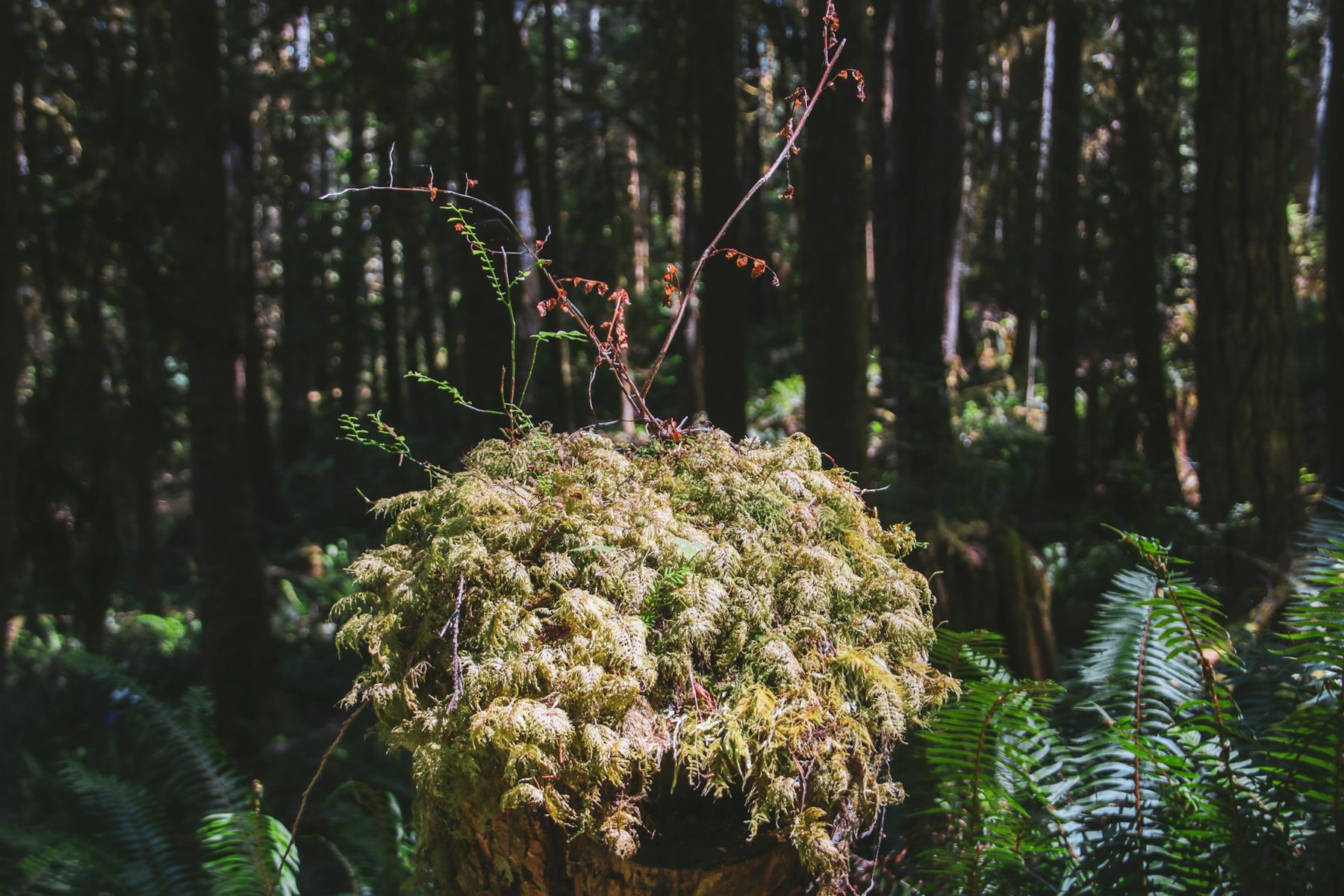 © Li-Ling Chang / Unsplash
From the ferry or the beach, Mount Elphinstone is simply the big forested shape behind the lower Sunshine Coast. It rises above Gibsons and Roberts Creek, its upper slopes often hidden in cloud, and it feeds the creeks that run down to the sea along this stretch of shore. Most visitors never go up. Those who do find a quieter, wilder side of the coast: steep trails, patches of old forest, mossy creek canyons and wide views from logging roads high on the mountain.
Mount Elphinstone is not a single trail or a tidy park. It is a mountain of mixed land uses, with protected areas, working forest, community trail networks and old roads all overlapping. That makes it rewarding but also demanding. Planning ahead matters.
A mountain above the lower coast
The mountain rises to around 1,200 metres, a substantial height given that its base is at sea level. Its lower slopes are mostly second-growth forest of Douglas fir, western red cedar and western hemlock, regrown after logging in the last century. Higher up and in steep ravines, older trees survive in patches, some of them very large.
The creeks that cut down the mountain, including those that reach the sea at Roberts Creek and around Gibsons, carry heavy flows in the wet months. Their ravines are cool, damp and full of ferns and moss, a good place to feel the coastal rainforest at close range.
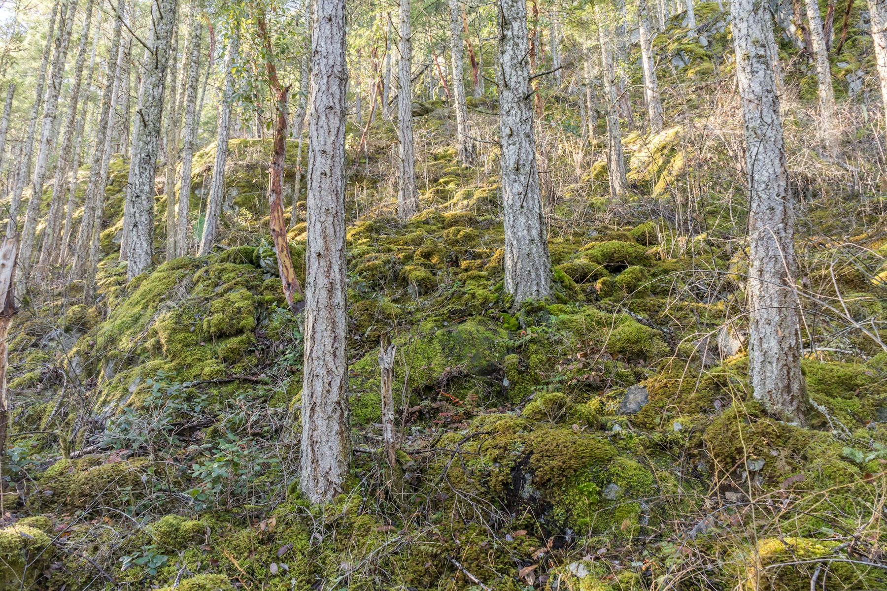 © Suzanne Rushton / Unsplash
Old-growth patches and the provincial park
Part of the mountain is protected in Mount Elphinstone Provincial Park, which is made up of several separate pieces rather than one block. The park protects stands of older forest along with the plants, fungi and wildlife that depend on them. Old trees here can be centuries old, with deeply furrowed bark and thick moss on their limbs.
Signs and facilities in these areas are limited. Trails may cross between park land, other public land and working forest without much marking. Treat any big old tree with care: do not climb on it, strip its moss or trample its roots. Fallen giants, slowly turning into soil, are part of the forest's life and best left alone.
Across the waterRoberts Creek, the pier and the painted mandalaTrails above Gibsons and Roberts Creek
A network of trails crosses the lower and middle slopes of the mountain, much of it built and maintained by local volunteers. Many are shared with mountain bikers, and some were built mainly for bikes, so stay alert on descents and step aside where you can see a long way ahead. Trailheads are scattered along roads above Gibsons and Roberts Creek, and finding the right one often takes local information or a good map.
Hiking times vary widely. A short loop through a creek ravine might take an hour or so, while routes to higher viewpoints can take most of a day, especially if they climb on old roads. Some trails are steep, root-tangled and slick when wet. Carry a map, a phone with an offline map app of your choice and enough daylight to return without hurrying.
- Tell someone where you are going and when you plan to be back.
- Carry water, a warm layer and a rain shell, even on a sunny day. Weather on the upper mountain can differ sharply from the shore.
- Expect limited phone coverage in ravines and on the far side of ridges.
- Turn back if a route becomes unclear. Getting lost among similar-looking roads is easy.
Logging roads and working forest
Much of the mountain is working forest, and logging roads climb high onto its flanks. Some are gated, some are open to vehicles, and conditions change with active logging, weather and maintenance. Loaded logging trucks may use these roads, and they have the right of way. Pull well over and give them space.
If you drive the forest roads, a high-clearance vehicle helps, and some roads require one. In some seasons, roads may be closed for fire risk or for operations.
The roads can offer wide views over the Strait of Georgia and Howe Sound from clearings and cutblocks. They are not always pretty walking, but the views can be broad.
Bears, weather and fire season
Black bears are common on the mountain, especially in late summer and autumn when berries ripen. Most avoid people if they hear them coming, so talk or call out on blind corners and near creeks. Keep dogs leashed. If you meet a bear, stay calm, give it room, and back away slowly. Never feed a bear or leave food behind. Read the coast's wildlife guide for more on keeping a safe distance.
Weather changes fast at altitude. Cloud can drop onto the mountain quickly, cutting visibility, and rain can turn trails into streams. In winter, the upper slopes hold snow, and some routes become unsafe without proper equipment. In summer, the forest dries out and fire danger rises; campfire bans and restrictions on forest use may be in place.
Late spring through early autumn is the main hiking season, with drier trails and longer days. Late spring brings fresh green growth and running creeks; midsummer can be dusty and hot on exposed roads but cool in the deep forest. Autumn is beautiful, with mushrooms emerging and the forest smelling of damp earth, though days shorten quickly.
In winter, the lower forest trails remain walkable on many days, and the moss and creeks are at their most vivid. Just expect mud, short daylight and rain, and stay off the higher slopes unless you are equipped for snow.
Further up the coast
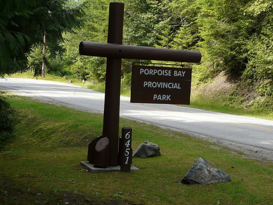 Porpoise Bay and the head of Sechelt Inlet
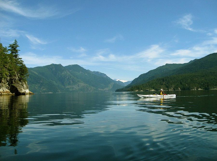 Paddling Sechelt Inlet
 Narrows Inlet and the Tzoonie River
Camera work: Redonebird / CC-BY-SA-3.0; Ken McMillan from Sechelt, BC, Canada / CC-BY-2.0

