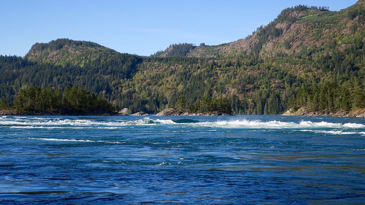
Skookumchuck Narrows, where the inlet pours through a gap
The tidal rapids near Egmont are a short forest walk from the road. Time it to the current table and you watch a whole inlet system empty or fill in front of you.
 © Natulive Canada / CC-BY-SA-4.0
Sechelt Inlet has only one way to reach the sea. Its long main arm, together with Salmon Inlet and Narrows Inlet, fills and drains through a short, rock-studded channel at its northern end, near the small community of Egmont. That channel is Skookumchuck Narrows, and the rapids inside it are some of the strongest tidal currents in the world. On a big tide the water level on one side can sit noticeably higher than on the other, and the sea runs downhill to even it out.
The name comes from Chinook Jargon, the old trade language of the coast, and means roughly strong water. You do not need a boat to see it. A provincial park protects the shore, and a forest trail from the road at Egmont takes you to two viewpoints right beside the current.
What happens in the narrows
Tides on this coast rise and fall about twice a day, and the difference between high and low water changes through the month. When the tide in Jervis Inlet rises faster than the water inside Sechelt Inlet can follow, the sea pushes in through the narrows on the flood. When it falls, all that stored water pushes back out on the ebb. On the largest tides the current can run faster than fifteen knots, close to thirty kilometres an hour, which is faster than most small boats can travel.
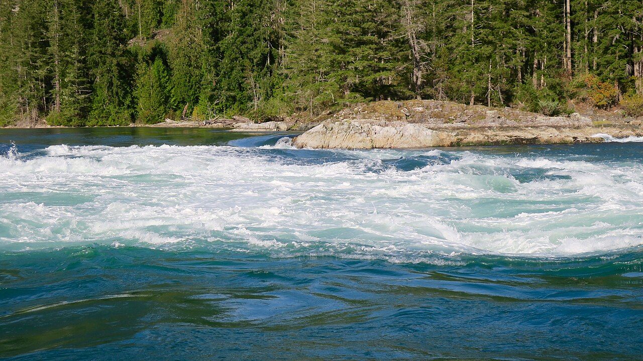
The result looks like a river in flood that happens to be salt water. You see standing waves, boils that bulge up from below, and whirlpools that open, spin and close again. Between floods and ebbs there are short slack periods when the surface goes almost calm and the rocks show their sea life.
 © Natulive Canada / CC-BY-SA-4.0
Reading the current table
The single most useful thing you can do before the walk is to look up the current predictions for Sechelt Rapids, the official name for this station in the Canadian current tables. A tide table tells you how high the water will be; a current table tells you when the water will move fastest and which way it will go. The two do not line up neatly here, so use the current table.
- Look for days with a large predicted maximum. Bigger numbers mean a stronger show.
- Note the time of maximum flood and maximum ebb, and whether daylight saving has been applied to the times you are reading.
- Plan to reach the viewpoint about an hour before the maximum. The current builds steadily, and you will see it change while you watch.
- Check the forecast too. Wind against current makes the water rougher, and rain makes the rock slippery.
A current table is sometimes posted near the trailhead, but do not rely on it.
A tide table tells you how high the water will be; a current table tells you when the water will move fastest and which way it will go.
The walk from Egmont
Take Highway 101 north past Pender Harbour and turn off toward Egmont shortly before the ferry terminal at Earls Cove. The trailhead sits beside the road near the village, with parking in a small lot and along the roadside. From there the trail runs roughly four kilometres each way, mostly through second-growth forest, past Brown Lake and on to the viewpoints. It is wide and fairly gentle, with some roots and short climbs. Most people take about an hour each way.
There are outhouses along the route but no drinking water you should count on, so carry your own. Dogs must be on a leash. The park is for day use only, so plan to be back at the car before dark, especially in winter when the light goes early. A short detour to a lookout over Brown Lake makes a quiet place to rest on the way back.
Across the waterPrincess Louisa Inlet and the falls at the end of the fjord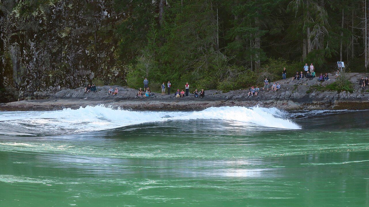 © Natulive Canada / CC-BY-SA-4.0
North Point or Roland Point
The trail forks near the end. Which viewpoint you choose depends on the direction of the current.
Roland Point on the flood
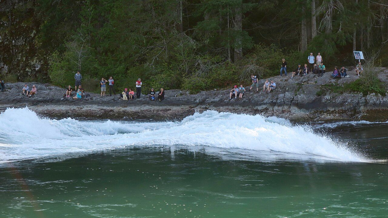
On a strong flood, when the sea pours into Sechelt Inlet, a large standing wave forms off Roland Point. This is the wave that draws expert white-water kayakers and surfers. The rocks above it give you a raised seat a safe distance back from the water. At slack low tide the same point shows tide pools with sea stars, anemones and other life clinging to the rock; look closely, but leave everything where it is.
North Point on the ebb
On a strong ebb, as the inlet drains back toward Jervis Inlet, the better show is usually at North Point, where whirlpools and boils swirl past the shore. The current is close in, so this is the place to keep children and dogs firmly in hand.
 © Natulive Canada / CC-BY-SA-4.0
Staying safe beside the rapids
The viewpoints have no fences, and the rock is smooth, often wet and slopes toward the current. Anyone who slips into the water at full flow is in serious danger within seconds: the water is cold all year, and the current is far stronger than any swimmer.
- Stay well back from the edge and above the wet, dark band of rock.
- Hold small children close and keep dogs leashed near the edge.
- Do not climb down for a photograph, however calm the near water looks.
- Wear shoes with real grip; sandals are a poor choice on wet granite.
For boats, the narrows are no place to experiment. Small craft that use Skookumchuck pass only at or very near slack water, with local knowledge, a reliable engine and a plan if the timing slips. Paddlers on Sechelt Inlet treat the rapids as a hard boundary rather than a route; the people surfing the standing wave are highly skilled, wear full protective gear and have rescue backup in place. If you are exploring the inlets by kayak, the story on paddling Sechelt Inlet covers the sheltered water south of here, and tides, winds and boat sense goes through planning in more detail.
The walk fits easily into a drive along the upper coast. You can combine it with a morning in Pender Harbour, or time it before the ferry from Earls Cove if you are heading north to Powell River. If the maximum falls late in the day, carry a headlamp anyway and turn back early enough to finish in daylight.
Visits in winter can be just as good as summer ones. Some of the largest tides of the year fall in the darker months, the trail is quieter and the forest is at its greenest. Bring rain gear, check the road conditions, and expect the rock at the viewpoints to be slick. From the inlet side, boats returning from Narrows Inlet and the other arms all have to time this same gap, which tells you something about how much the tide rules life on this part of the coast.
Further up the coast
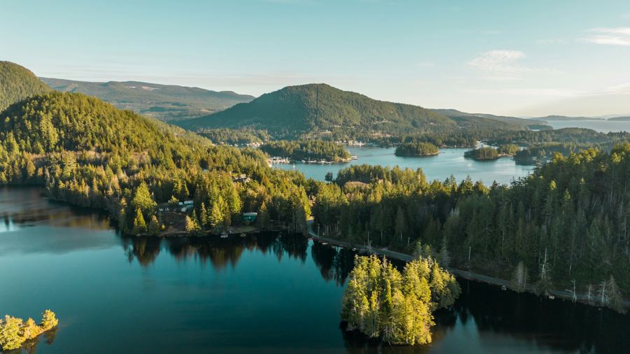 Pender Harbour, a harbour made of many harbours
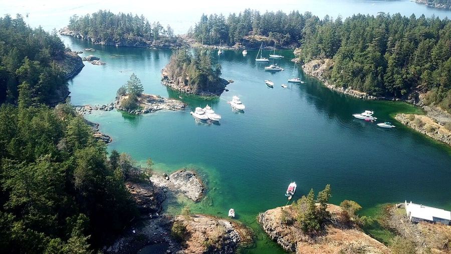 Smuggler Cove and the shores of Halfmoon Bay
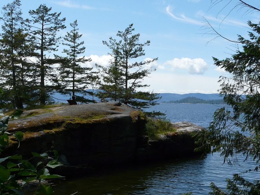 Across Jervis Inlet to Saltery Bay and Powell River


Camera work: Suzanne Rushton / Unsplash; BWJinks / CC-BY-SA-4.0; Redonebird / CC-BY-SA-3.0

