Coast know-how
A coast you reach by ferry, and inlets you reach by water.
North of Vancouver, across Howe Sound, the Sunshine Coast runs a hundred-odd miles up one highway, cut off from the mainland road network. Behind it the sea pushes deep into the mountains as long, quiet inlets. These pages cover the villages, the paddling, the tidal rapids and the fjords beyond.
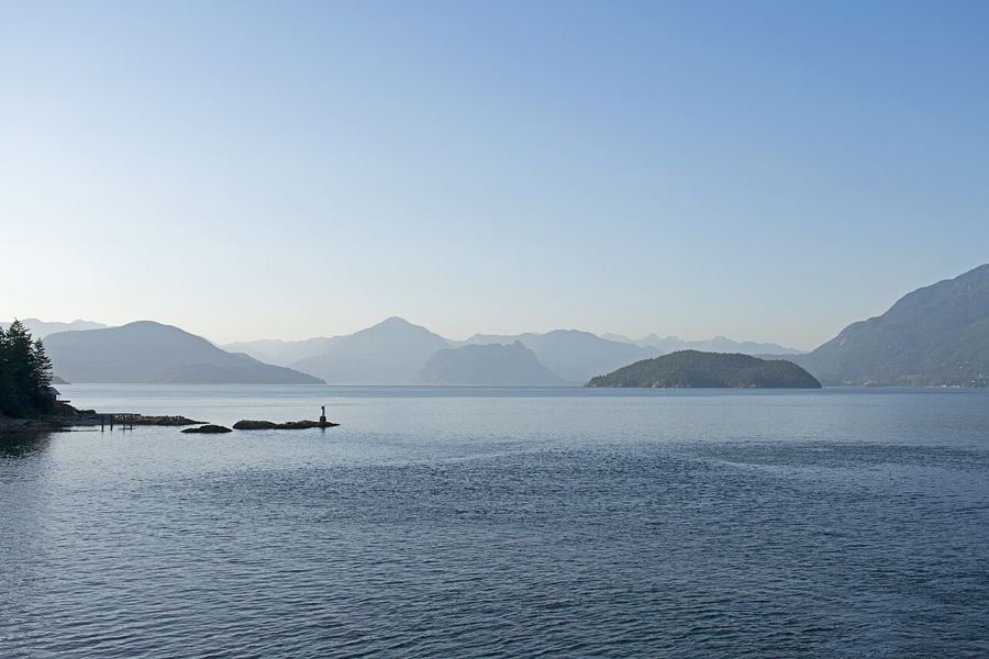 LangdaleYou start here
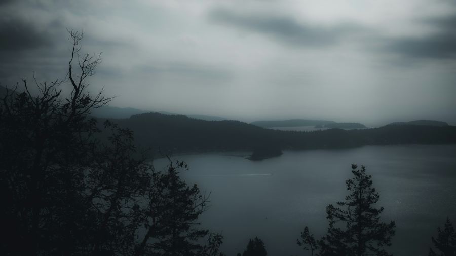 GibsonsAbout ten minutes by road
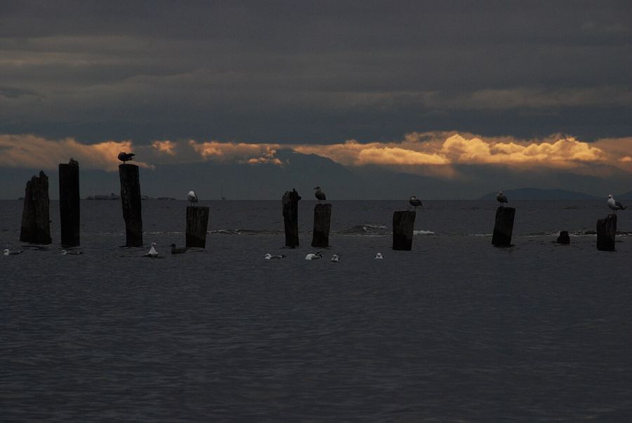 Roberts CreekAround twenty minutes by road
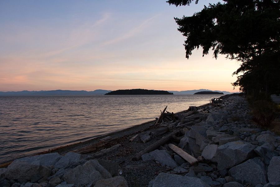 SecheltRoughly half an hour by road
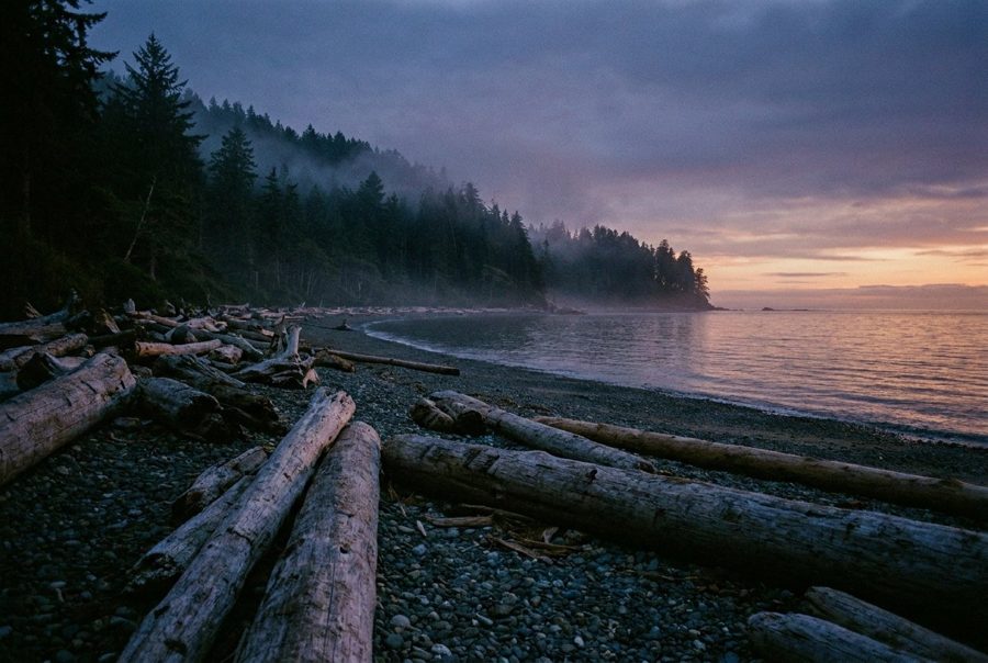 SecheltRoughly half an hour by road
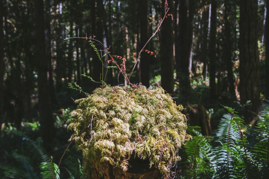 GibsonsTrailheads within half an hour
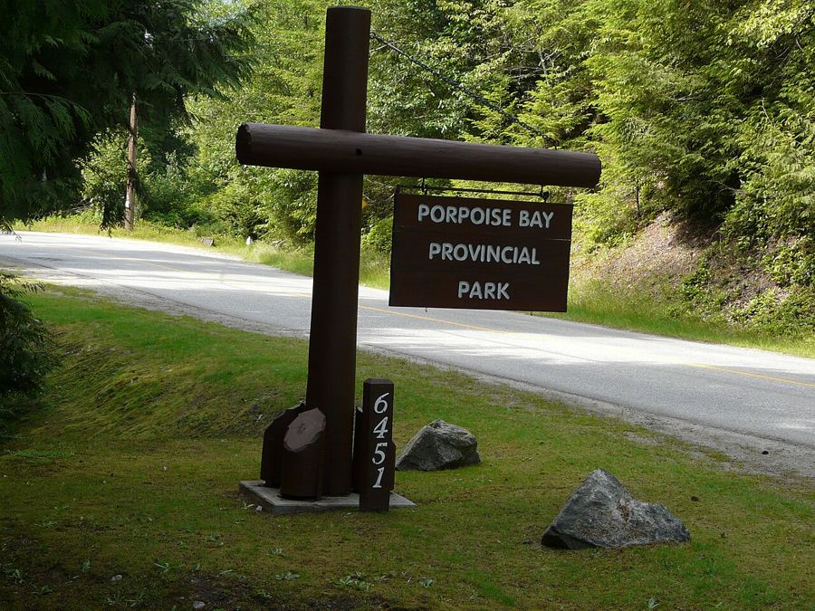 Sechelt InletAbout forty minutes by road
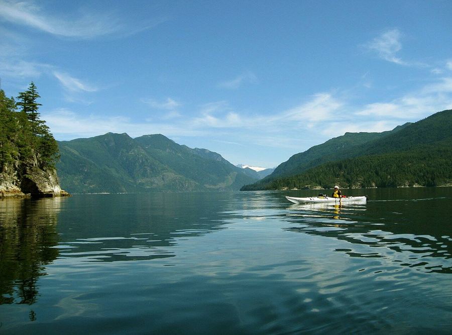 Sechelt InletAbout forty minutes to the launch
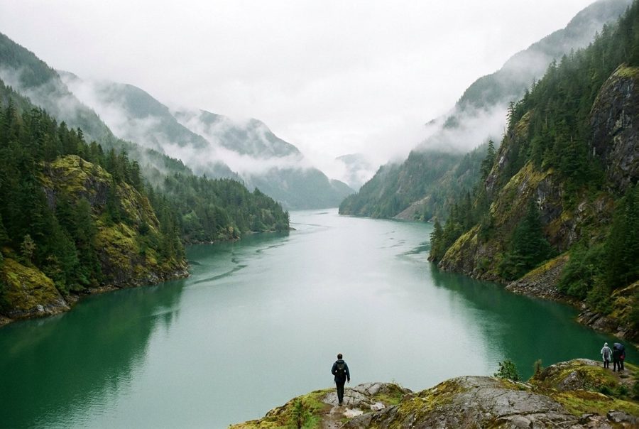 Narrows InletMost of a day, by water
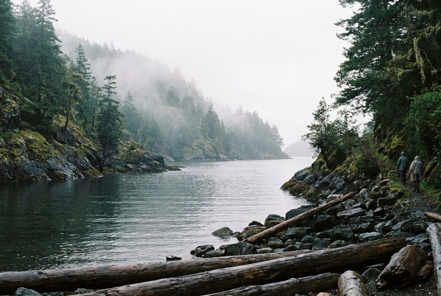 Salmon InletMost of a day, by water
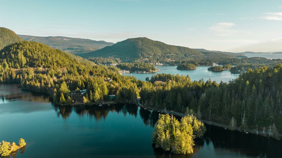 Pender HarbourRoughly an hour and a quarter
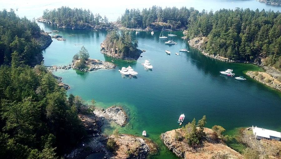 Halfmoon BayAbout an hour by car
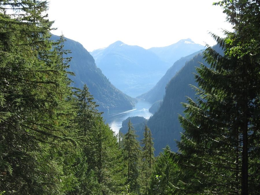 Jervis InletTwo hours' drive, then a long boat trip
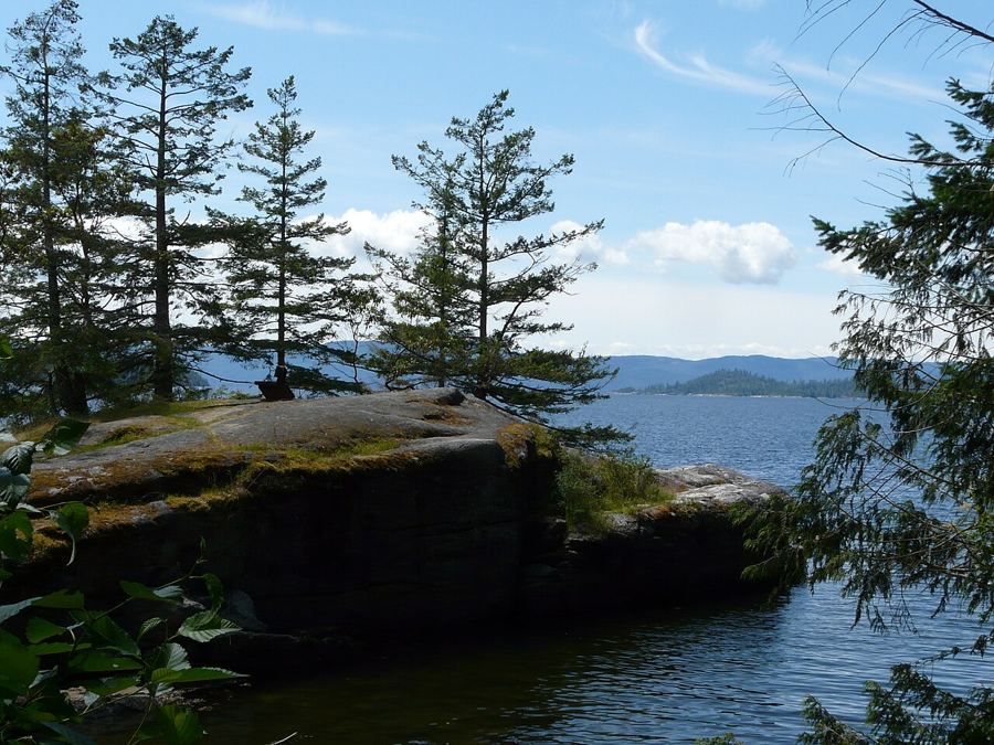 Powell RiverNinety minutes' drive, then the ferry
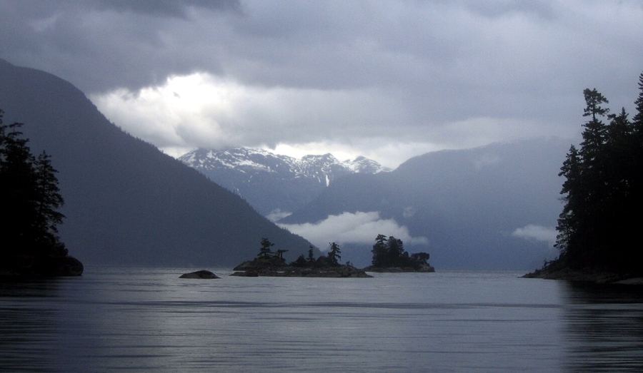 Desolation SoundTwo ferries and most of a day
Watch the tide turn
Skookumchuck Narrows, where the inlet pours through a gap
The tidal rapids near Egmont are a short forest walk from the road. Time it to the current table and you watch a whole inlet system empty or fill in front of you.
Read the narrows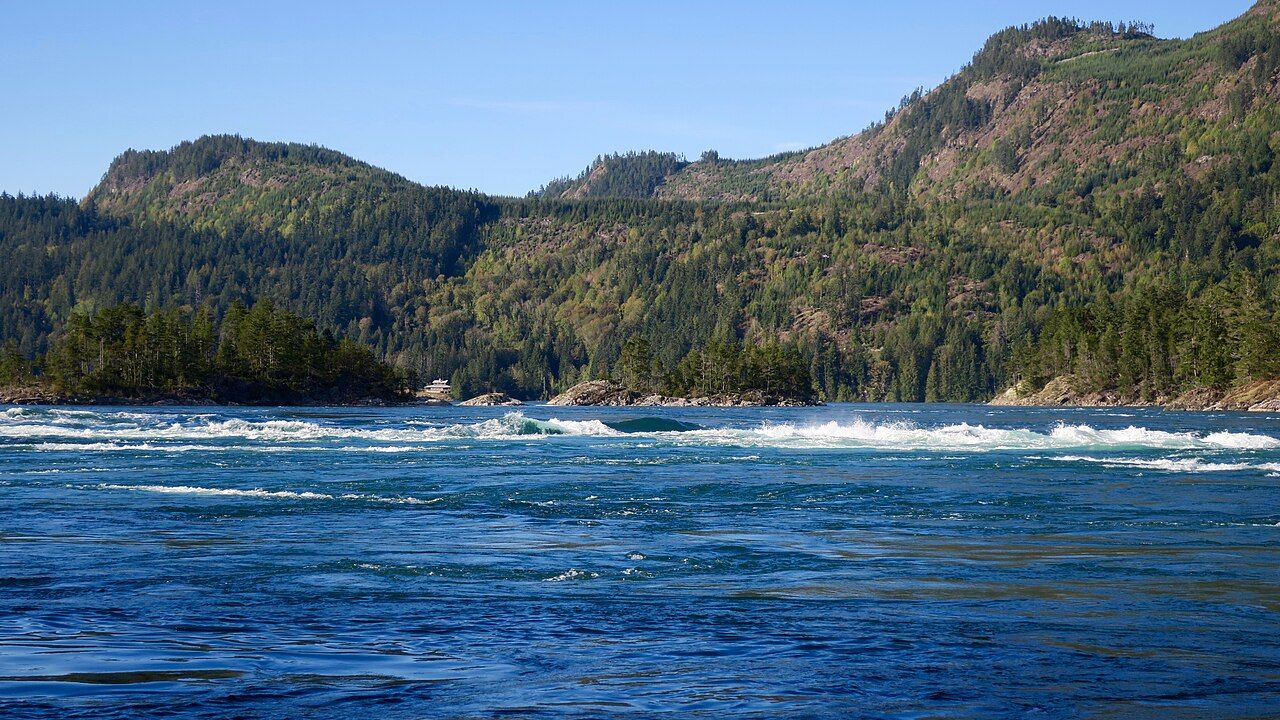 © Natulive Canada / CC-BY-SA-4.0

Camera work: Ymblanter / CC-BY-SA-4.0; Anastase Maragos / Unsplash; TwoWild / CC-BY-SA-2.0; Ken McMillan from Sechelt, BC, Canada / CC-BY-2.0; Li-Ling Chang / Unsplash; Redonebird / CC-BY-SA-3.0; Ken McMillan from Sechelt, BC, Canada / CC-BY-2.0; Suzanne Rushton / Unsplash; BWJinks / CC-BY-SA-4.0; Ben Walker ben / CC-BY-SA-2.5; Redonebird / CC-BY-SA-3.0; photographer unknown / CC-BY-SA-3.0


