Pender Harbour, a harbour made of many harbours
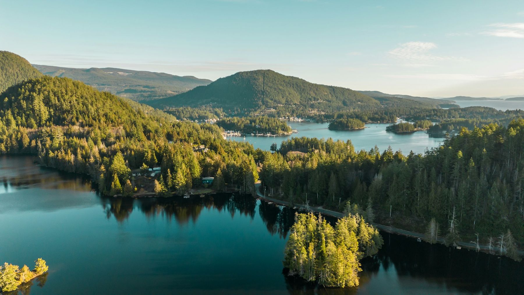
Coves, islands and narrow channels make Pender Harbour a place best seen slowly, from a dock, a short summit trail or a small boat on a calm morning.
 © Suzanne Rushton / Unsplash
Look at Pender Harbour on a map and it barely seems like one harbour at all. The shoreline twists into dozens of coves, bays and lagoons, with small islands scattered between them, so that a short drive or a slow boat ride keeps opening new pieces of water. The old nickname, the Venice of the North, came from the fact that for a long time many people here travelled by boat rather than by road, moving between homes, docks and stores across the water.
Today Highway 101 links the communities, but the harbour still feels like a place that faces the water. Docks and float homes line the shore, boats outnumber cars at certain times of year, and the pace is set by tides and weather more than by any timetable.
The communities around the water
Pender Harbour is not one town but a group of small settlements spread around the shore.
- Madeira Park is the main centre, a short way off the highway, with groceries, services and a public wharf.
- Garden Bay sits on the north side of the harbour, with docks, a small marine park and a steep hill behind.
- Irvines Landing, near the harbour mouth, was one of the earliest steamship stops and still looks out toward Malaspina Strait.
- Francis Peninsula separates the harbour from the open strait and has a quiet provincial park at its tip.
- Kleindale lies inland at the head of the harbour, among farms and forest.
Before roads arrived, this was the territory of the shíshálh people, whose winter villages and seasonal camps stood around the harbour and nearby lakes. Shell middens along the shore and the names of places such as Mount Daniel carry that history. Treat archaeological sites with care: look, but do not dig, remove or move anything.
 © Suzanne Rushton / Unsplash
Short walks with long views
You do not have to be on the water to understand the shape of the harbour. Two short climbs show it from above.
Pender Hill
Pender Hill is a short but steep trail on a rocky knoll. In well under an hour you reach open bluffs with views across the harbour, the islands and out to the strait. The rock is slick when wet, so take care on the way down.
Mount Daniel
Mount Daniel, the forested hill above Garden Bay, is a longer climb and a place of cultural importance to the shíshálh Nation, long used for coming-of-age ceremonies. If you walk there, stay on the trail, leave stone features untouched and treat it as you would any other sacred site.
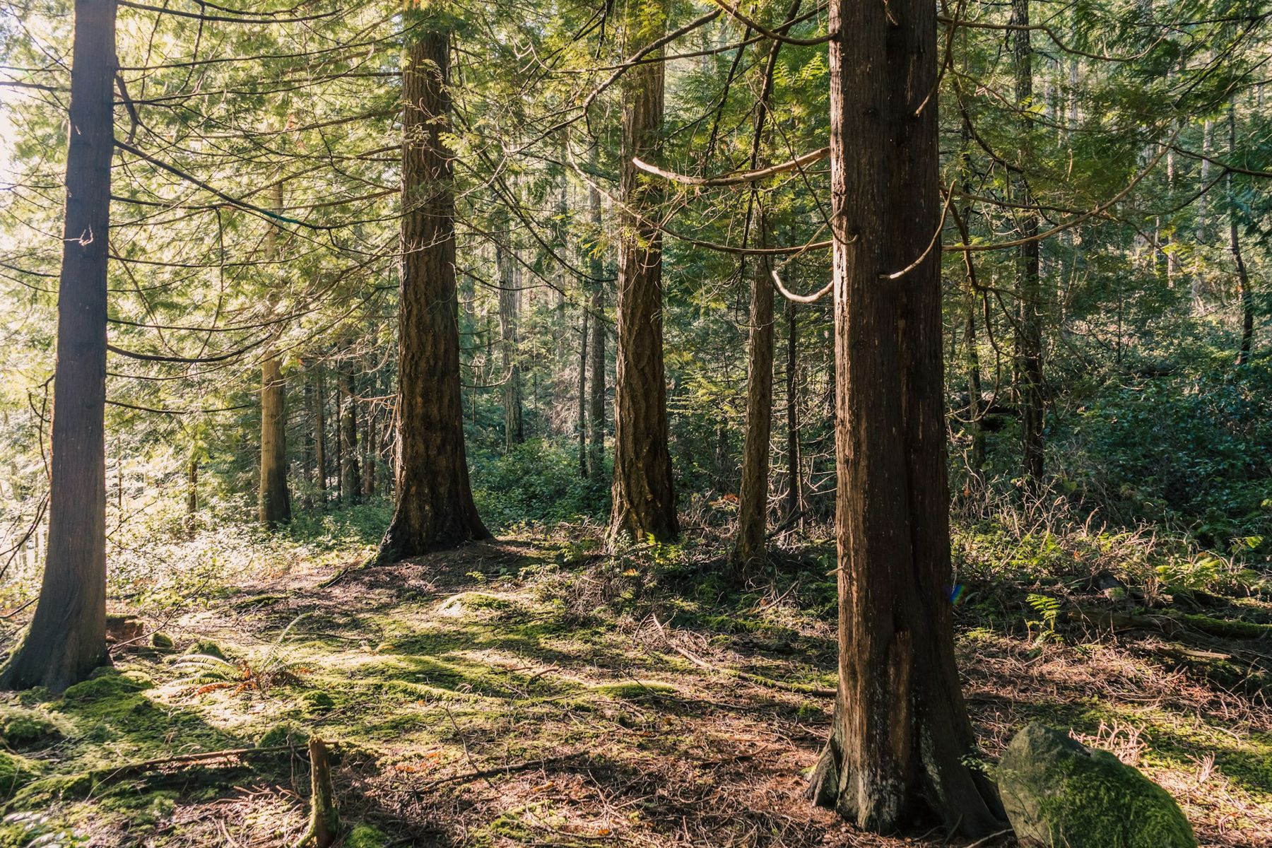
At Francis Point Provincial Park on the Francis Peninsula, an easy trail winds through open forest to smooth rock headlands where you can watch the weather move along Malaspina Strait.
Sheltered is not the same as safe in every condition, though.
Exploring the harbour by water
The harbour is sheltered from the open strait, which makes it popular with small boats and paddlers. Sheltered is not the same as safe in every condition, though. A southeasterly in winter or a strong afternoon northwesterly in summer can push rough water into the outer harbour, and the water is cold enough all year that a capsize is serious.
A few habits keep you out of trouble:
- Carry a chart or a good marine map and check the tide. Many of the narrow passages between islands are shallow, and rocks that show at low water hide at high water.
- Go slowly and keep your wake small near docks, float homes and moored boats. A wake can damage boats and docks and knock people off their feet.
- Respect private property. Much of the shore is privately owned, and many docks are not public.
- Paddlers should stay close to shore, avoid the main boat channels where possible and wear a lifejacket at all times.
For the wider picture on tides, winds and cold water, read the notes on tides, winds and boat sense before you set out. Public boat launches and the public wharves give you access to the water; launch arrangements and any fees change.
 © Suzanne Rushton / Unsplash
Lakes, swimming and quiet corners
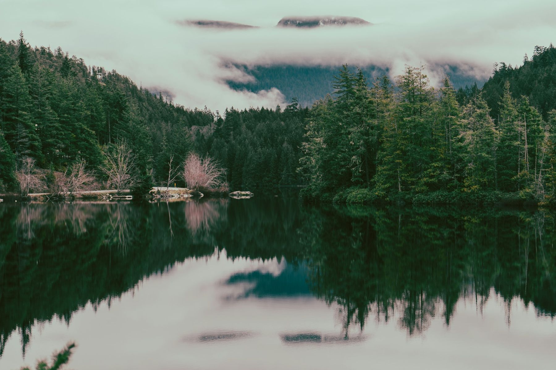
The land behind the harbour is dotted with lakes, and on a hot summer day the fresh water is warmer than the sea. Katherine Lake, a regional park near Garden Bay, has a small beach and a campground; Ruby Lake and Sakinaw Lake lie along or near the highway to the north and south. Lake swimming here is generally gentle, but water depth drops off quickly from many rocky shores, so keep an eye on children.
Wildlife is everywhere if you sit still. Harbour seals surface in the coves, river otters cross docks at dawn, bald eagles perch over the water, and herons stand in the shallows at low tide. Black bears live in the forest around the harbour, so keep food and garbage locked away, even at a day-use beach.
A harbour that lives on the water
Spend a morning on a public wharf and you see how much of daily life here still moves by boat. Small aluminium skiffs carry groceries and building supplies to homes with no road access, fishing boats come and go with the tide, and in summer cruising boats from up and down the coast tie up for a night or two before heading north to Jervis Inlet or Desolation Sound. Float homes, some of them decades old, sit moored in quiet coves.
Commercial fishing shaped the harbour for much of the last century, and you can still see working boats among the pleasure craft. Before the highway was finished, steamships linked these coves with Vancouver, calling at landings around the harbour with mail, passengers and freight, and canneries and logging camps stood on shores that are quiet today.
If you are on the water yourself, remember that many of these boats are people's homes and livelihoods. Keep clear of fishing gear and moorings, do not tie up to private floats without permission, and keep noise down early and late in the day.
Pender Harbour works as a base for the whole upper coast. From here you can reach Skookumchuck Narrows in under an hour by road, head south to Smuggler Cove and Halfmoon Bay, or carry on to the ferry at Earls Cove and the long fjord of Jervis Inlet beyond.
Summer is busiest, with warm days, long evenings and full docks. Late spring and early autumn are quieter, still mild and often clear. Winter brings rain, wind and short days, but also empty trails and a harbour that feels entirely local. Stores and services keep shorter hours outside summer.
Whatever the season, the best way to see the place is slowly: a walk to a viewpoint, a long look at a chart, an early paddle on still water while the mist lifts off the islands.
Further up the coast
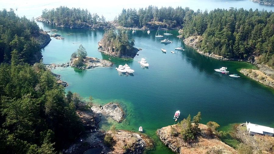 Smuggler Cove and the shores of Halfmoon Bay
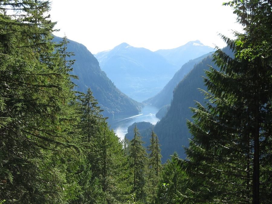 Princess Louisa Inlet and the falls at the end of the fjord
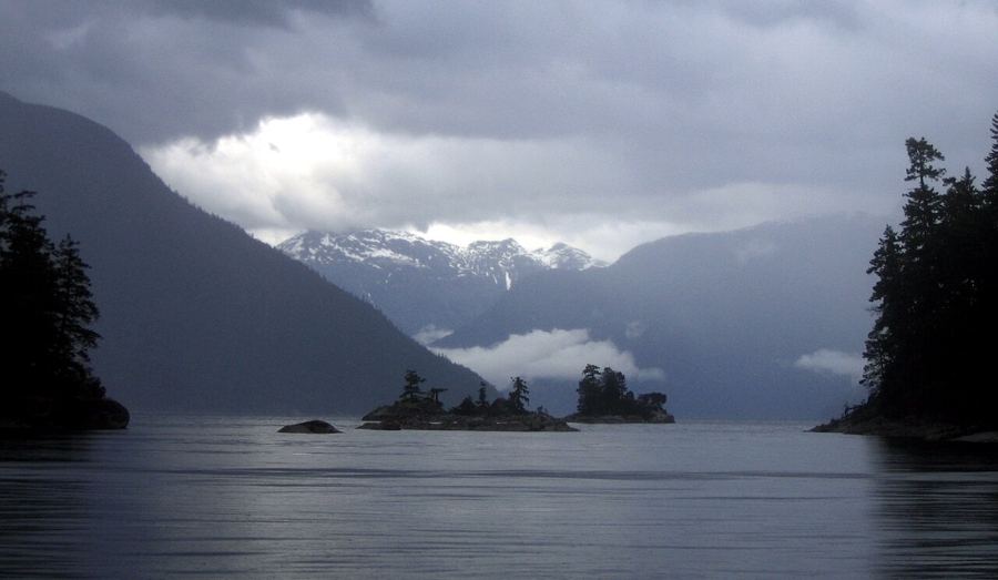 Desolation Sound, past the end of the road
Camera work: BWJinks / CC-BY-SA-4.0; Ben Walker ben / CC-BY-SA-2.5; photographer unknown / CC-BY-SA-3.0


