Narrows Inlet and the Tzoonie River
No public road reaches Narrows Inlet. You arrive by water, slip through the tidal pinch at Tzoonie Narrows, and follow a steep-walled fjord to the mouth of the Tzoonie River.
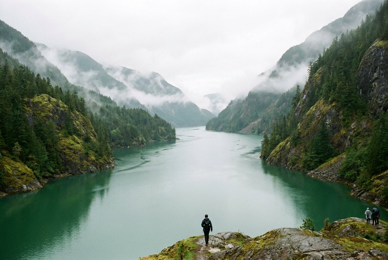
Partway up Sechelt Inlet, on the eastern shore, a gap opens in the forested wall of the mountains. This is the entrance to Narrows Inlet, one of the two long arms that branch east from the main inlet. It runs deep into the Coast Mountains, steep-sided and quiet, its waters fed by snowmelt and rain from the peaks above. At its head, the Tzoonie River winds out of a forested valley onto a wide estuary.
There is no public road into Narrows Inlet. You arrive by kayak, by small boat or, for a few, by floatplane. That isolation is the whole point. Once you pass through Tzoonie Narrows, the pinch that gives the inlet its name, the sounds of the coast's towns and highway fall away, and the inlet feels like a world of its own.
A fjord off Sechelt Inlet
Narrows Inlet is a fjord, carved by glaciers and later flooded by the sea. Its walls rise steeply from the water, clothed in cedar, fir and hemlock where the slope allows and bare granite where it does not. In wet months, waterfalls stream down the rock faces after every heavy rain, and low cloud hangs in the valleys. In summer the inlet can be still and hot, the water reflecting the mountains almost perfectly in the morning.
From Porpoise Bay near Sechelt, it is a long paddle or a moderate boat trip up the main inlet to the mouth of Narrows Inlet. Kayakers typically take more than one day to get there, stopping at marine park sites on the way; the guide to paddling Sechelt Inlet covers the main inlet and its sites. Boaters can make the trip in a few hours, depending on speed and conditions.
The inlet lies within the homelands of the shíshálh Nation, whose people used these waters and the valley at the head for fishing, hunting and travel for thousands of years. Treat the shoreline with care. Some places along the inlet carry deep cultural significance, and archaeological sites are protected. Leave shell middens and any stone features undisturbed, and respect any posted signs.
Tzoonie Narrows
A short way into the inlet, the shores close in to form Tzoonie Narrows, a slender passage where tidal currents run noticeably faster than in the open inlet. Although the tides inside the Sechelt inlets are more muted than on the open coast, the narrows concentrate the flow, and at peak flow the current can be strong enough to challenge paddlers and push small boats around.
The safe approach is simple: time your passage for slack water or close to it, and expect eddies and swirls near the points. Carry current tables and check them the day before. If you arrive at the wrong time, rest on shore and wait. It is a short delay compared with the effort of fighting a strong current.
Tzoonie Narrows is also one of the sites of Sechelt Inlets Marine Provincial Park, with a small landing area and space for camping. It is a popular stop for kayakers, partly because the setting is so striking, with steep slopes rising on either side of the narrow channel. Facilities are basic and change from time to time.
Once you pass through Tzoonie Narrows, the pinch that gives the inlet its name, the sounds of the coast's towns and highway fall away, and the inlet feels like a world of its own.Across the waterSalmon Inlet and the back country
The upper inlet and the Tzoonie River
Beyond the narrows, the inlet continues east between ever-steeper walls. There are few landing spots, and in places the rock drops straight into deep water. Small creeks tumble down from side valleys, and the sound of falling water is constant after rain.
At the head of the inlet, the Tzoonie River flows out of its valley onto a broad estuary of grasses, mudflats and gravel bars. The estuary is rich habitat: salmon return to the river in autumn, and the flats draw waterfowl, herons, eagles and bears. At low tide, the shallows extend a long way out, so boats need care approaching the head. At high tide, the estuary can look like a lake surrounded by mountains.
The river valley has a history of logging, and old roads run up it, but they do not connect to the public road network, and much of the land is not open for casual exploration. Respect private land, active operations and any posted closures. If you go ashore at the head, stay alert for wildlife and keep your visit low-impact.
Wildlife and bears
Narrows Inlet is wild country, and the wildlife reflects it. Harbour seals haul out on rocks and watch boats with calm curiosity. Bald eagles perch high in the firs, and in autumn they gather along the river to feed on salmon. Herons stalk the shallows, kingfishers rattle along the shore, and loons call across the water.
Black bears are common along the inlet, especially on beaches at low tide, where they turn over rocks for crabs and other food, and along the river in salmon season. Keep a good distance from any bear, never approach it for a photo, and give it space to move away. At camp, store food and scented items properly, cook away from tents, and leave nothing behind. Read the guide to the coast's wildlife for more on keeping a safe distance.
- Watch from a distance, using binoculars or a long lens.
- Never feed wildlife, including gulls and seals.
- Give seals on haul-outs a wide berth, and back off if they start moving towards the water.
- Keep dogs under control, or leave them at home for this trip.
Because there is no road access, Narrows Inlet requires planning. Kayakers should be comfortable with multi-day trips, self-rescue and the inlet's winds. Afternoon inflow winds can build in summer, and in cooler months outflow winds can pour down the inlet from the mountains. Phone coverage is limited or absent, so carry a VHF radio or satellite communicator, and leave a trip plan with someone at home.
Boaters should carry charts, watch the depth near the head of the inlet, and respect the speed and wake of their boat near kayakers and shore. Anchorages are limited by the steep, deep shoreline, so plan where you will stop. Fuel and supplies are available only back in Sechelt or other coastal towns.
Summer offers the most settled weather and longest days, though afternoon winds are common. Late spring brings snowmelt and powerful waterfalls. Early autumn has the salmon run, changing colours and fewer people, though weather becomes more changeable. Winter trips are for experienced, well-equipped parties only.
Whatever the season, Narrows Inlet is a place to travel slowly, watch the water and the weather, and leave no trace. Take the time to learn the basics of tides, wind and boat sense before setting out. It rewards care with some of the quietest, most striking water on the coast.
Further up the coast
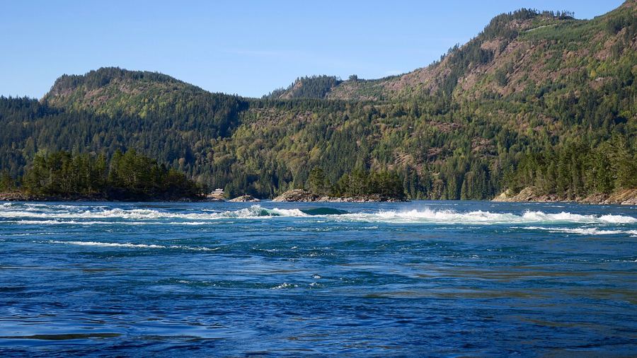 Skookumchuck Narrows, where the inlet pours through a gap
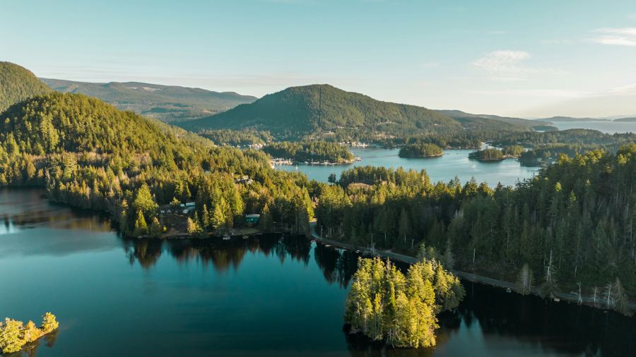 Pender Harbour, a harbour made of many harbours
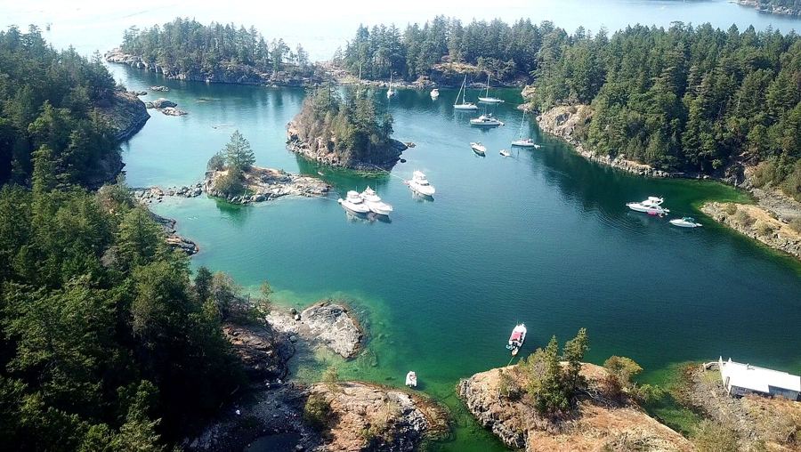 Smuggler Cove and the shores of Halfmoon Bay
Camera work: Natulive Canada / CC-BY-SA-4.0; Suzanne Rushton / Unsplash; BWJinks / CC-BY-SA-4.0

