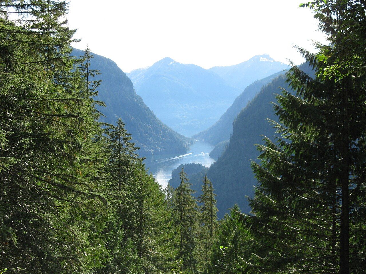
Princess Louisa Inlet and the falls at the end of the fjord
A narrow fjord off upper Jervis Inlet, reached only by water or air, with granite walls, spring waterfalls and Chatterbox Falls pouring into the head of the inlet.
 © Ben Walker ben / CC-BY-SA-2.5
Jervis Inlet runs deep into the Coast Mountains from the upper Sunshine Coast, a long fjord of dark water between steep, forested walls. Near its far end, a narrow gap in the eastern shore opens into a smaller fjord: Princess Louisa Inlet. It is only a few kilometres long, but its walls rise straight from the water for well over a kilometre, waterfalls pour down them in spring, and at its head Chatterbox Falls drops into a cove of still green water.
There is no road. You arrive by private boat or by floatplane, and that effort is part of what keeps the place quiet. The head of the inlet is protected as Princess Louisa Marine Provincial Park, and the land around it lies within the traditional territory of the shíshálh Nation.
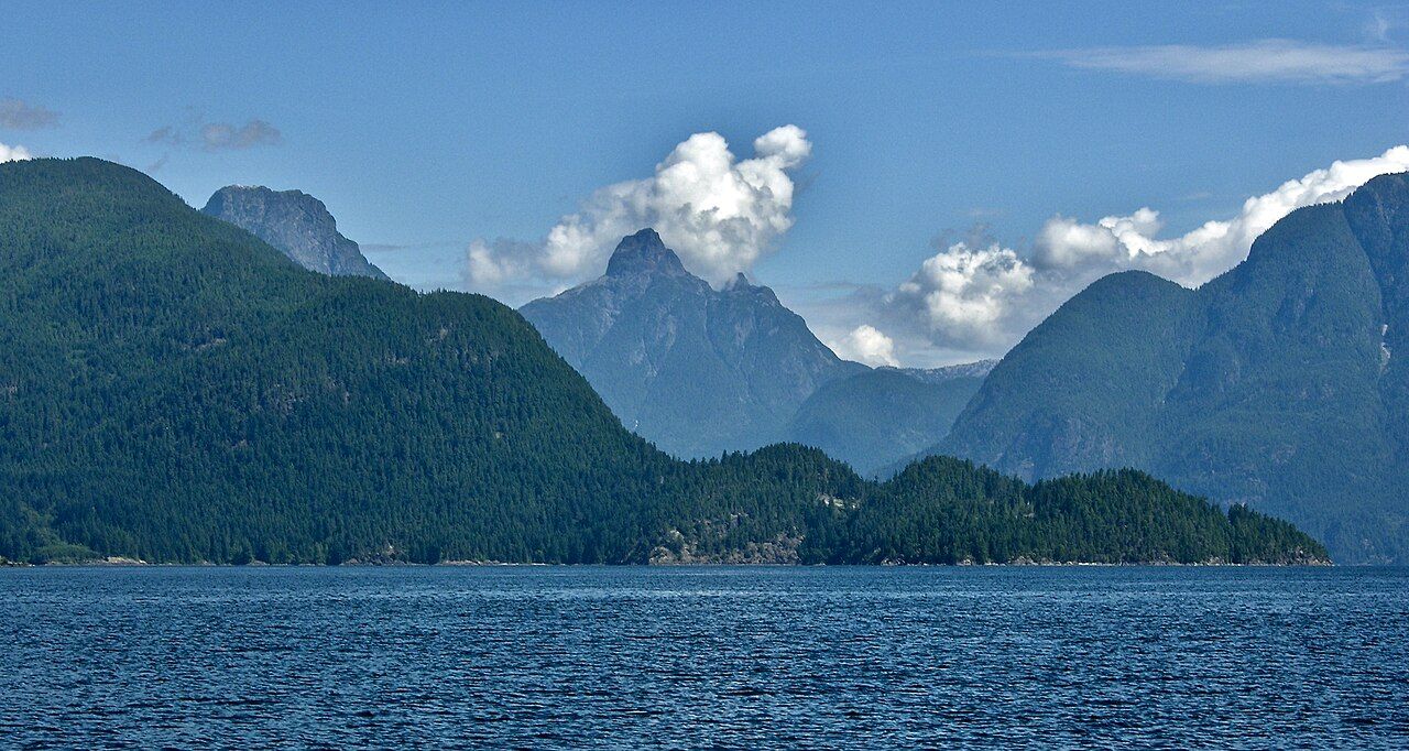
The long run up Jervis Inlet
Most boats start from Egmont or Pender Harbour and travel up Jervis Inlet through a series of long reaches, turning between ridges and peaks. The distance from Egmont is more than thirty nautical miles, so even a fast boat spends a few hours on the way, and a sailboat or slower cruiser can take most of a day.
 © BarbSummeringPhotography / CC-BY-SA-4.0
The inlet is very deep and the shores are steep, with few places to anchor or shelter. Plan fuel, food and time carefully, and carry everything you need for the round trip. Mobile phone coverage is unreliable or absent for much of the route, so a working marine VHF radio is essential. Winds follow a daily pattern in fair weather: calmer mornings, then afternoon breezes that blow up the inlet as the land warms. When that wind opposes an ebbing tide, short steep waves can build quickly, so many skippers aim to travel early.
Timing Malibu Rapids
The entrance to Princess Louisa Inlet is Malibu Rapids, a short, narrow passage with a sharp bend. Because the inlet behind it is large and the gap is small, tidal currents run hard through it, with eddies and overfalls on the bigger tides. Boats pass only at or near slack water.
- Use the current predictions for Malibu Rapids, not just a nearby tide table. Slack at the rapids does not fall exactly at high or low water.
- Arrive early and wait outside in Queens Reach rather than rushing to make a closing window.
- Call your intentions on VHF before entering. The passage is too narrow for boats to pass each other comfortably at the bend, and you cannot see oncoming traffic until late.
- Go slowly and keep to the deeper water shown on your chart.
Paddlers sometimes reach the inlet after a long trip up Jervis, but this is an expedition for experienced, self-sufficient groups. The distances are long, landing spots are few and the cold water leaves little margin. For a gentler introduction to inlet paddling, read about paddling Sechelt Inlet first.
Sound carries a long way across the still water, and in the evening the only noise may be the falls themselves.
Inside the inlet
Once through the rapids the water usually goes calm, and the scale of the place becomes clear. Granite walls climb on both sides, streaked by waterfalls that are at their fullest during snowmelt in late spring and early summer, and thin to ribbons by late summer. Sound carries a long way across the still water, and in the evening the only noise may be the falls themselves.
The inlet's protection owes something to the people who came before you. In the twentieth century, a long-time owner of land at the head of the inlet passed it to a society of boaters so that it would stay open to everyone, and it later became a provincial park. Long before that, the inlet and the waters of Jervis were known and used by the shíshálh, whose names and stories belong to this landscape.
Across the waterSkookumchuck Narrows, where the inlet pours through a gap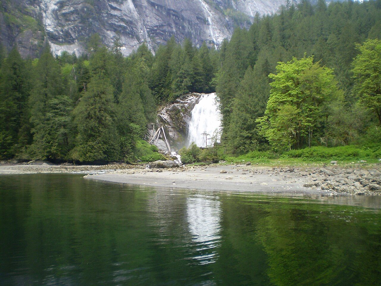 © Darrell Greenwood / CC-BY-SA-4.0
Chatterbox Falls and the park
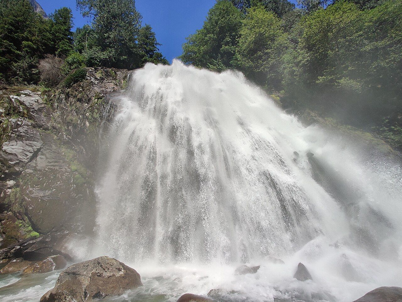
At the head of the inlet, the river from the high country above drops over a series of rock steps as Chatterbox Falls. A short trail from the park dock leads through the forest toward the base of the falls. The spray carries far, and the rocks around it are permanently wet and moss-covered. Stay on the trail and well back from the water: people have been swept away after stepping onto slick rock near the falls, and the current at the base is powerful.
The park has a public dock, mooring buoys and a small number of facilities near the head. In summer they fill up, and time limits on the dock may apply.
 © Emma0mb / CC-BY-4.0
The trail to the old trapper's cabin
A trail climbs steeply from near the head of the inlet toward the remains of an old trapper's cabin high above the water. From the viewpoints along the way you look straight down the length of the inlet. It is a rough route rather than a maintained path, steep, rooty and slippery when wet, with real drop-offs. Only attempt it if you are fit, sure-footed and well equipped, start early, and turn back if conditions are poor.
Planning and respect
A trip to Princess Louisa takes planning. Check the marine forecast, carry current tables for the rapids, tell someone ashore your route and return date, and keep a margin of fuel and time in case weather holds you inside the inlet longer than planned. Black bears live along the shore, so keep food and garbage on the boat rather than on the dock or beach.
If you do not have your own boat, floatplanes from the Sunshine Coast and the Vancouver area make scenic flights that land in the inlet for a short visit, weather permitting.
Keep the inlet as you found it. Pack out all garbage, use the toilets provided, keep generators and music off in the evening, and run your engine as little as possible while at anchor or on the dock. Grey water and sewage rules apply to boats in marine parks; know them before you arrive. Swimming is possible in summer, when the surface layer warms a little, but the water just below is cold, so stay near the boat or dock and keep a ladder down.
Whether you come by sea or air, this is a place to slow down. Take time to watch the light move across the walls, listen to the falls, and remember that this is the homeland of the shíshálh people, not an empty wilderness. Before or after the trip, a day in Pender Harbour makes a good base, and tides, winds and boat sense covers the planning in more depth.
Further up the coast
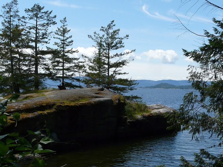 Across Jervis Inlet to Saltery Bay and Powell River
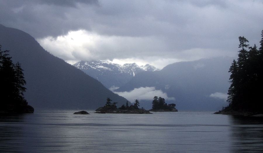 Desolation Sound, past the end of the road
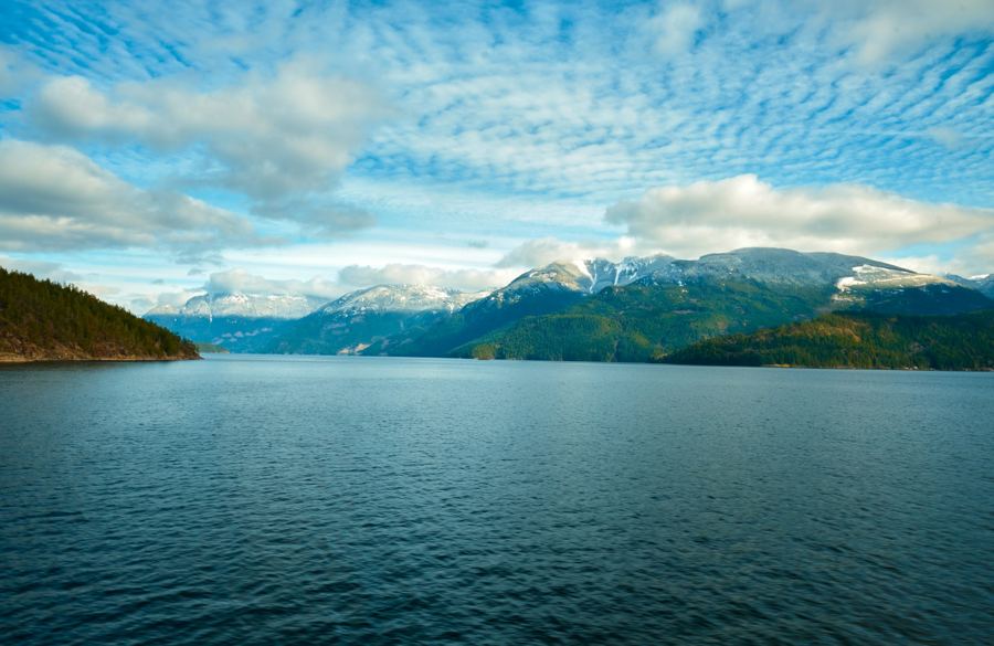 Orcas, seals and bears: sharing the coast with wildlife


Camera work: Redonebird / CC-BY-SA-3.0; photographer unknown / CC-BY-SA-3.0; Lucas Mitchell / Unsplash

