Desolation Sound, past the end of the road
North of Powell River the highway stops at Lund. Beyond it lies Desolation Sound, a sheltered maze of islands, fjords and coves with some of the warmest sea water on the coast.
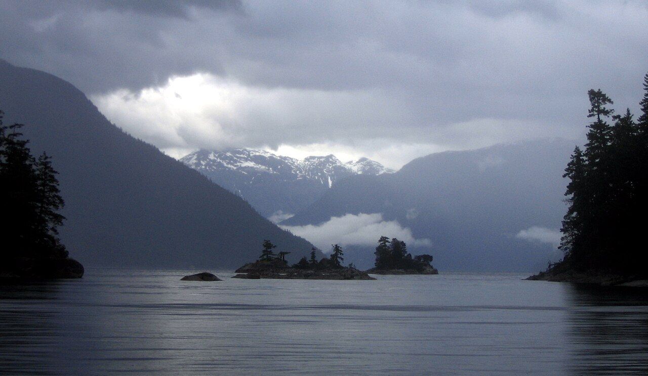 © photographer unknown / CC-BY-SA-3.0
Highway 101 ends at Lund, a small harbour community north of Powell River. Past that point there are no more roads along the coast, only water. A short distance beyond, the islands and fjords of Desolation Sound open up, a sheltered sea where mountains rise behind forested shores and summer water warms enough for a swim. The area is mostly protected within Desolation Sound Marine Provincial Park, and it draws paddlers and boaters from all over the coast.
This is the traditional territory of the Tla'amin, Klahoose and Homalco peoples. When the British explorer George Vancouver anchored here in 1792, he found the place gloomy and gave it its bleak name. Most visitors today see it differently. The islands, the high peaks to the east and the many sheltered coves make it one of the best-loved cruising and paddling areas on the whole coast.
Lund, the end of the road
Lund is little more than a harbour, a public wharf and a scattering of buildings around a small bay, but it is the jumping-off point for the sound. You can launch boats and kayaks here, leave a car for a longer trip and pick up last supplies. Parking for multi-day trips is limited and arrangements change.
Just north of Lund lie the Copeland Islands, a small marine provincial park of rocky islets that makes a good first stop for paddlers. Offshore to the west, Savary Island is known for its pale sand beaches. Water taxis run to Savary and other points in summer, as do boat services that carry kayaks; schedules vary through the season.
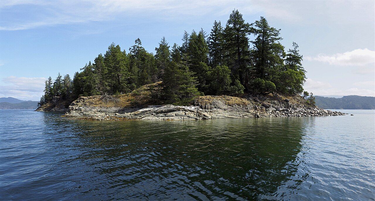 © Dale Simonson / CC-BY-SA-2.0
Why the water is warm
Desolation Sound sits where the tidal streams entering from the north and south around Vancouver Island meet. The water here is flushed less vigorously than elsewhere, so in summer the surface layer warms in sheltered bays and can reach temperatures that make swimming comfortable, at least for a while. Warm is relative, though. A metre or two down the sea is much colder, and in spring and autumn the surface is cold enough to cause shock in a sudden fall.
Wear a lifejacket whenever you are on the water, and dress for immersion rather than for the air temperature. The story on tides, winds and boat sense explains cold water and the dangers of a capsize in more detail.
Paddling and boating routes
Most paddlers either launch at Lund and work north along the shore past the Copeland Islands, or drive to Okeover Inlet, east of Lund, and launch there for a more sheltered start. From either point you can reach the main sound in a day or two. Common destinations include:
- Grace Harbour, a well-protected anchorage with forest around it.
- Galley Bay and Portage Cove, closer to the start and good for a shorter trip.
- Tenedos Bay, where a short trail leads to a freshwater lake.
- Prideaux Haven, a cluster of islets and coves deeper into the sound, popular with boats in midsummer.
The open stretches between the islands and the crossing of the main sound can be exposed. In summer, the wind often rises in the afternoon, sometimes quickly. Plan crossings for early morning, stay close to shore when you can and be prepared to wait on land if the water gets rough. Boaters will find the anchorages crowded in July and August; many boats anchor with a stern line to shore. Paddlers should carry a chart, a compass and a means of calling for help, since mobile coverage is unreliable once you leave Lund behind.
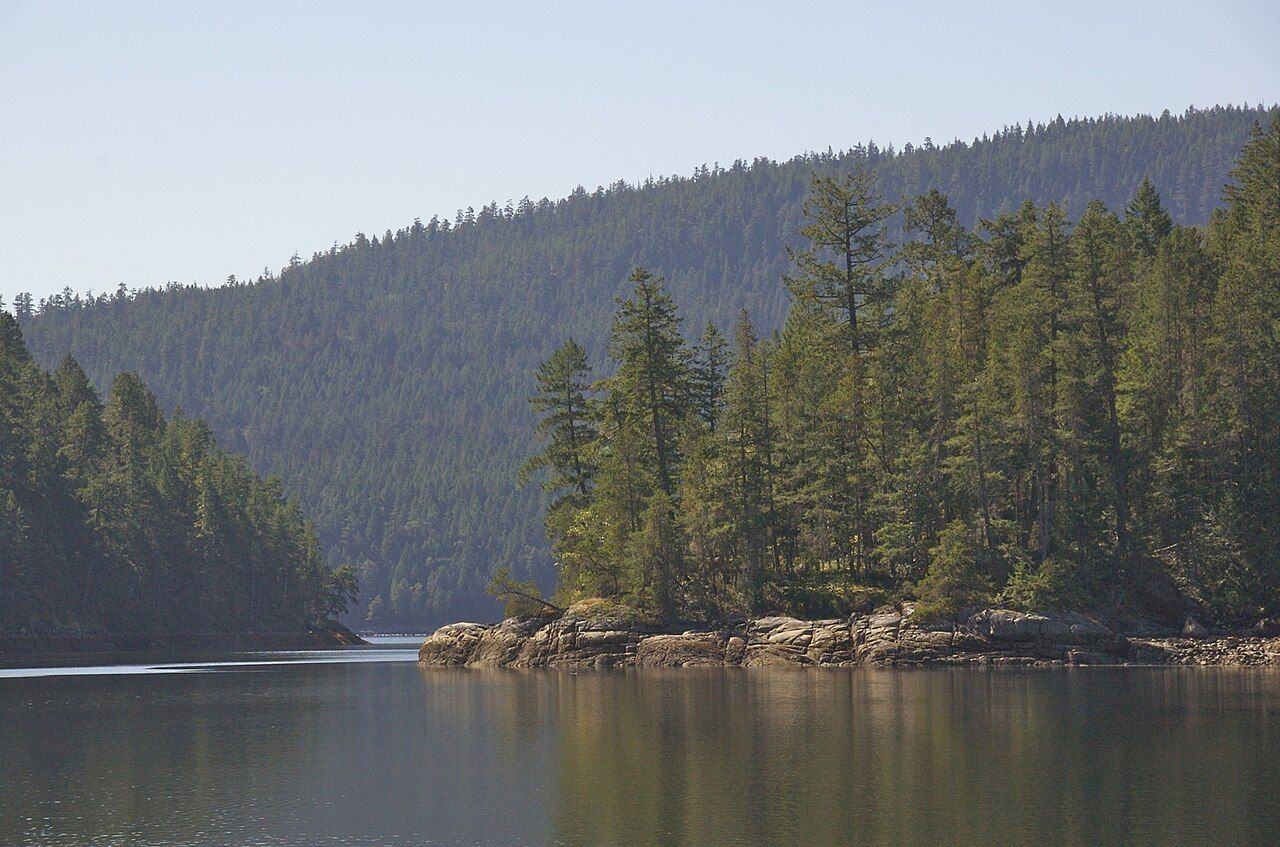 © a.davey / CC-BY-2.0
Camping and leaving no trace
The marine park has designated campsites with tent pads and toilets at several locations. Camping is restricted to these sites in many areas, and fees or reservations may apply; rules change. Fires are often banned in summer.
- Use the tent pads and toilets provided. Off-site camping damages fragile shoreline vegetation.
- Carry all garbage out.
- Collect drinking water from lakes or streams only where it is available, and treat it before drinking.
- Avoid soap in streams and lakes; wash well away from them.
Bears and other wildlife
Black bears are common along the shores of Desolation Sound. Store food, toiletries and garbage in bear-proof containers or in the food caches provided at some campsites, never in your tent. Cook and eat well away from where you sleep. If a bear approaches, stay calm, speak firmly, keep your group together and give it room to leave.
On the water, you may see harbour seals, river otters, bald eagles and herons, and sometimes porpoises or whales passing through. Keep your distance from marine mammals, especially resting seals and any whales, and never approach or feed wildlife. The story on orcas, seals and bears explains the rules for distance.
Planning your trip
Getting to Lund from Langdale takes most of a day: the drive up the coast, the ferry from Earls Cove to Saltery Bay, and the road on through Powell River. Many people break the journey with a night on the upper coast. If you are coming from Vancouver Island, the ferry to Powell River gives a shorter route. For the drive itself, see driving Highway 101.
The season runs roughly from late spring to early autumn. Midsummer brings warm water and crowded anchorages; June and September are quieter, with cooler water and fewer boats. Outside that window the weather is harder and services fewer.
Further up the coast
 Orcas, seals and bears: sharing the coast with wildlife
 Tides, winds and boat sense on the inlets
 The coast through the year


Camera work: Lucas Mitchell / Unsplash