Smuggler Cove and the shores of Halfmoon Bay
A short trail through forest and wetland leads to a sheltered cove of rock islets. Around it, Halfmoon Bay offers beaches, small parks and long views over the strait.
 © BWJinks / CC-BY-SA-4.0
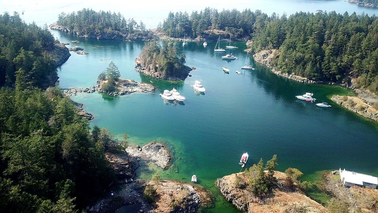
Halfmoon Bay is the stretch of coast between Sechelt and Pender Harbour where the highway runs inland and the shore breaks into small bays, rocky points and islands. Most people come for one place in particular: Smuggler Cove, a sheltered anchorage tucked behind a screen of islets and protected as a marine provincial park. You can reach it on foot in well under an hour, and on a calm day it is one of the most peaceful spots on the lower coast.
The walk to the cove
The trailhead sits at the end of Brooks Road, which leaves Highway 101 west of Halfmoon Bay. Parking is limited, and on summer weekends the lot fills early; arrive in the morning or late in the afternoon for a quieter visit.
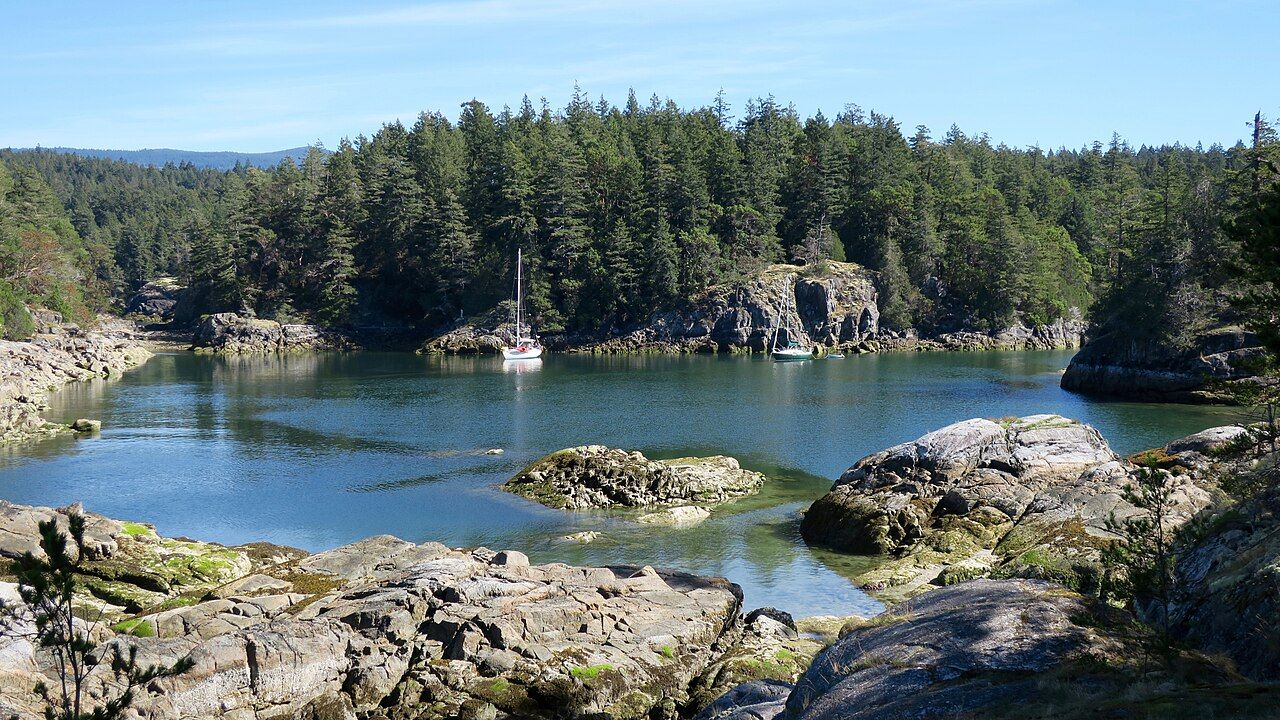
From the parking area the trail runs through second-growth forest and crosses a wetland on a boardwalk before reaching the water. It is mostly level, with a few roots and short climbs. Once you reach the cove, side trails branch along the shore to rocky viewpoints over the anchorage and out to the open strait. Most visitors walk the main route in twenty to forty minutes each way, then spend an hour or more exploring the headlands.
The rock along the shore is smooth and pleasant to sit on, but it slopes into deep, cold water and turns slick after rain or where seaweed grows. Keep children close on the headlands, and wear shoes with good grip rather than sandals.
- Dogs must be on a leash, and there is no garbage service, so pack out everything you bring.
- There is a small number of walk-in campsites; rules and fees change.
- Fires are restricted in many seasons. Follow posted notices.
 © Natulive Canada / CC-BY-SA-4.0
Why it is called Smuggler Cove
The cove's hidden entrance and sheltered water made it useful for people who preferred not to be seen. The best-known story concerns the late nineteenth and early twentieth centuries, when people were moved illegally across the border to the United States, and the cove was said to be one of the places where they were hidden before the crossing. Later, during American Prohibition, rum-runners carrying liquor south from British Columbia are also said to have used it.
None of these stories left records that are easy to check, and they have grown in the retelling over the years. How much of this is fact and how much is local legend is hard to say, and the cove keeps no visible trace of it. What you can see is why the stories took hold: from out on the strait the entrance is easy to miss, and once inside a boat is almost invisible behind the islets.
Boating into the cove
Smuggler Cove is a popular summer anchorage, and the narrow entrance has rocks on both sides. Boaters enter slowly, on a good chart, and in fair weather. Space inside is tight, so most boats anchor and run a stern line to shore, using rings and chains set into the rock for the purpose.
Respect the shoreline: tie only to the fittings provided, keep noise down in the evening and carry all waste out. If you are planning a longer trip on this coast, read tides, winds and boat sense first, especially the parts on summer afternoon winds and cold water.
Across the waterPender Harbour, a harbour made of many harbours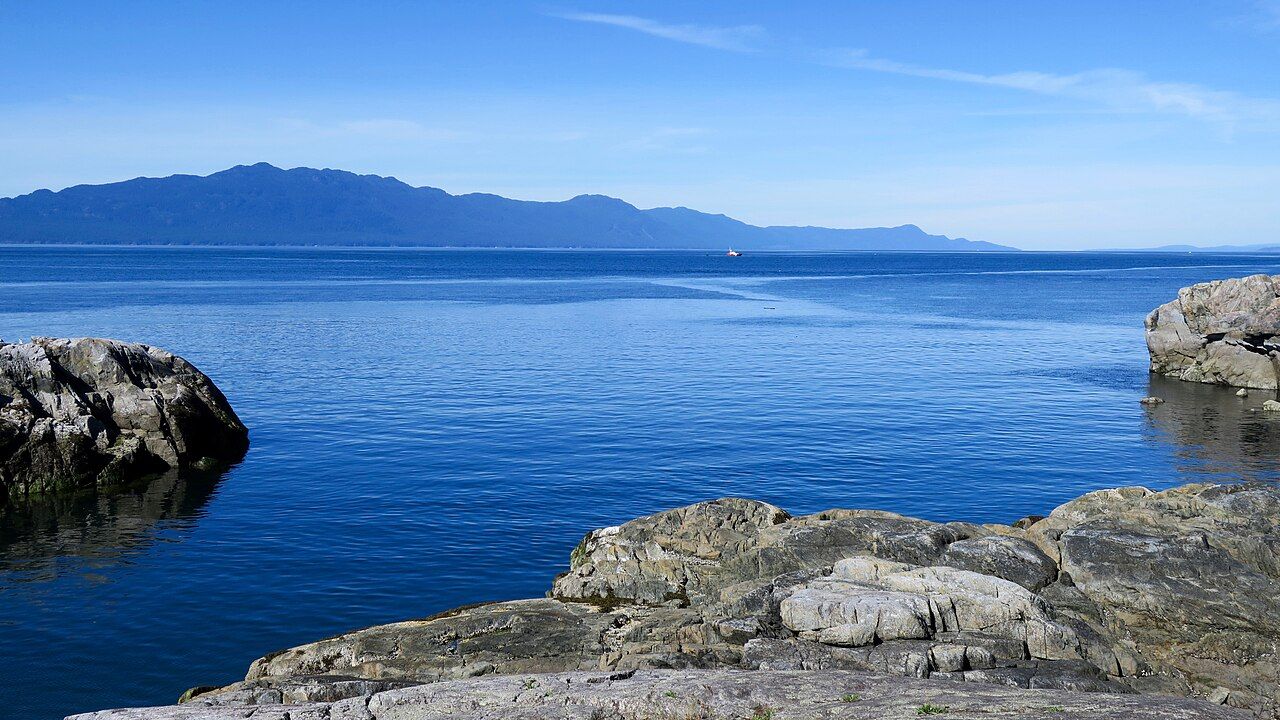 © Natulive Canada / CC-BY-SA-4.0
Beaches and parks around Halfmoon Bay
Smuggler Cove is only one of several public places along this shore.
Coopers Green
Coopers Green Regional Park, on Redrooffs Road, has a small beach, a picnic area and a boat launch. On warm evenings it is a good place to watch the light fade over the strait.
Sargeant Bay
Sargeant Bay Provincial Park, between Sechelt and Halfmoon Bay, protects a cobble beach and a wetland behind it. Birdwatchers come for the waterfowl and herons, and a trail leads up through forest to a small lake.
Redrooffs Road
Redrooffs Road loops along the shore between Sargeant Bay and Halfmoon Bay, a slower, twisting alternative to the highway with glimpses of the water and the Thormanby Islands offshore. Cyclists use it too, so drive with care.
The islands offshore
The Thormanby Islands lie just off Halfmoon Bay. Buccaneer Bay, between the two main islands, has a long sandy beach that is a summer favourite with boaters. There is no car ferry, so you reach the islands by private boat or kayak. The crossing is short, but it is open water, and wind can rise quickly on summer afternoons. Paddlers should be confident in rough water and able to perform a self-rescue before attempting it.
Seals often haul out on rocks in this area. If you see one resting, keep well back and pass quietly. A seal that lifts its head and watches you is already disturbed; give it more room.
Smuggler Cove makes an easy half day from Sechelt. Pair the walk with a stop at Sargeant Bay in the morning, or continue north on Highway 101 to Pender Harbour in the afternoon. If you are staying further south, the story on Sechelt between two waters covers the town and its beaches.
Spring brings fresh green growth and fewer people; summer has warm rock to sit on and long evenings; autumn is quiet, often with clear, still mornings. In winter the trail is muddy, the cove empty, and the rocks slick, but the forest is at its most alive. Whatever the season, wear proper shoes, carry water and give yourself time to sit on the rocks and watch the tide move in and out of the cove.
Further up the coast
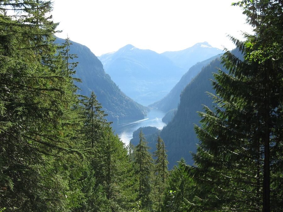 Princess Louisa Inlet and the falls at the end of the fjord
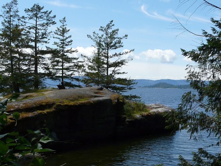 Across Jervis Inlet to Saltery Bay and Powell River
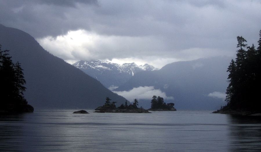 Desolation Sound, past the end of the road


Camera work: Ben Walker ben / CC-BY-SA-2.5; Redonebird / CC-BY-SA-3.0; photographer unknown / CC-BY-SA-3.0


