Crossing Howe Sound to the Sunshine Coast
The Sunshine Coast sits on the mainland, yet no road reaches it from Vancouver. The ferry across Howe Sound is the front door, and a little planning keeps it calm.
 © Ymblanter / CC-BY-SA-4.0
Look at a map and the Sunshine Coast is plainly part of the mainland, a long strip of forest and shoreline running northwest from Howe Sound towards Desolation Sound. Drive towards it from Vancouver, though, and the road runs out. The Coast Mountains drop straight into the sea along Howe Sound, and no highway has ever been pushed through. So you arrive the way almost everyone arrives: by ferry, from Horseshoe Bay in West Vancouver to Langdale, a short distance north of Gibsons.
That crossing shapes the whole coast. It slows traffic, sets the rhythm of weekends and gives the communities on the far side the feel of an island, with island habits to match. The sooner you accept the ferry as part of the trip rather than an obstacle in front of it, the better the coast treats you.
The route across Howe Sound
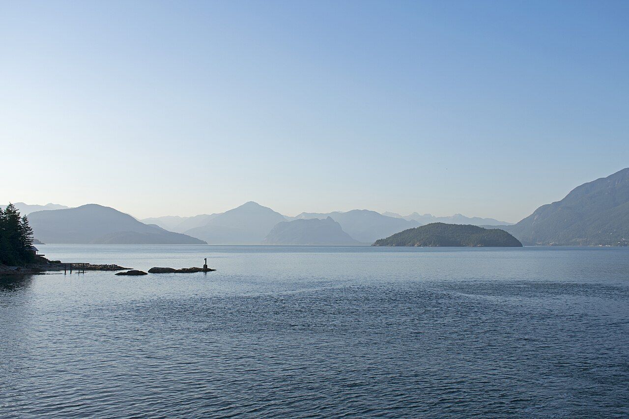
The provincial ferry service runs the Horseshoe Bay to Langdale route year round. The crossing itself usually takes well under an hour, and the scenery does most of the work. Leaving Horseshoe Bay, the ship swings out past Whytecliff and into the open water of Howe Sound, with Bowen Island to the south and the steep shoulders of the mainland to the north. Gambier Island fills the middle of the view, and Keats Island lies low and green off the Langdale shore.
On a clear day you can see far up the sound towards the mountains above Squamish, layer after blue layer of ridge. On a grey one the islands blur into the cloud and the sound looks closer to a northern fjord than a stretch of water half an hour from a big city. Either way, the outside decks are worth a few minutes, even if the wind sends you back inside sooner than planned.
 © David Zhang from Canada / CC-BY-SA-2.0
Why the coast feels like an island
Everything that reaches the lower Sunshine Coast by land comes over on a ferry: groceries, lumber, mail, fuel and visitors. Residents plan medical appointments in the city around sailings, and a missed boat can reshape a whole day. That dependence gives the coast a distinct pace. People are used to waiting, and a ferry lineup is as much a social space as a traffic queue.
For you as a visitor, the effect is a sense of arrival. Once the ramp drops at Langdale and you roll onto Highway 101, the city falls away quickly. Within minutes you are in Gibsons, and the coast unfolds northwest from there through Roberts Creek and Sechelt towards Pender Harbour and a second ferry at Earls Cove. The single highway strings these places together, and almost nothing on this side of the water is more than a short detour from it.
Timing the crossing
Sailings run several times a day, more often in summer than in winter, and the schedule changes with the season. Fares vary by vehicle size, by the number of passengers and sometimes by the time of travel. Reservations are available for vehicles on this route and are worth considering on busy days. Because all of this changes.
Some patterns hold year after year. Friday afternoons leaving Horseshoe Bay and Sunday afternoons leaving Langdale are the busiest times, along with the start and end of long weekends and much of July and August. In those windows a vehicle without a reservation can wait for one or more sailings. Midweek, early morning and later evening crossings are usually calmer.
Across the waterGibsons Landing, the harbour at the start of the coast- Arrive early. Terminals close vehicle loading a set time before departure, and the cut-off is strict.
- Walk on if you can. Foot passengers rarely wait, and a local bus links the Langdale terminal with Gibsons and Sechelt.
- Carry a cyclist's mindset. Bikes board with foot passengers, and the coast is a popular, if hilly, ride.
- Have a plan for the wait. Horseshoe Bay has a small waterfront park and a beach to stretch your legs.
Langdale on arrival
Langdale itself is mostly a terminal, a slope of houses and a road climbing away from the water. It is not a place people linger, but it is useful to know what sits close by. A small passenger ferry runs from the Langdale side to Keats Island and to Gambier Island, both largely residential and rural, with no public car traffic to speak of on Gambier and only limited roads on Keats. Hiking and paddling around these islands are possible, but services are minimal, so you travel self-contained.
One road from the terminal runs along the shore past Hopkins Landing and Granthams Landing, two old steamer stops that once had their own wharves, before dropping into Lower Gibsons. The other climbs the hill to the highway. Most visitors aim straight for Gibsons Landing, a few minutes away, and that is a sensible first stop.
Weather and the water
The big ferries sail in most weather, and cancellations for wind are uncommon on this route, though not unheard of. Winter southeasterlies can make the sound lumpy, and fog occasionally slows things down. If you are prone to seasickness, the middle of the ship on a lower deck moves least.
For anyone in a smaller boat, Howe Sound deserves respect. Afternoon inflow winds in summer can build steep chop up the sound, and outflow winds in winter can pour down from the mountains with little warning. Ferry traffic is frequent and the big ships cannot stop or turn quickly. If you are paddling or boating near the terminals, keep well clear of the approach lanes and read the basics of tides and wind before you set out.
Making the most of the boat
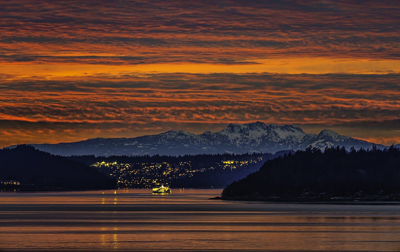
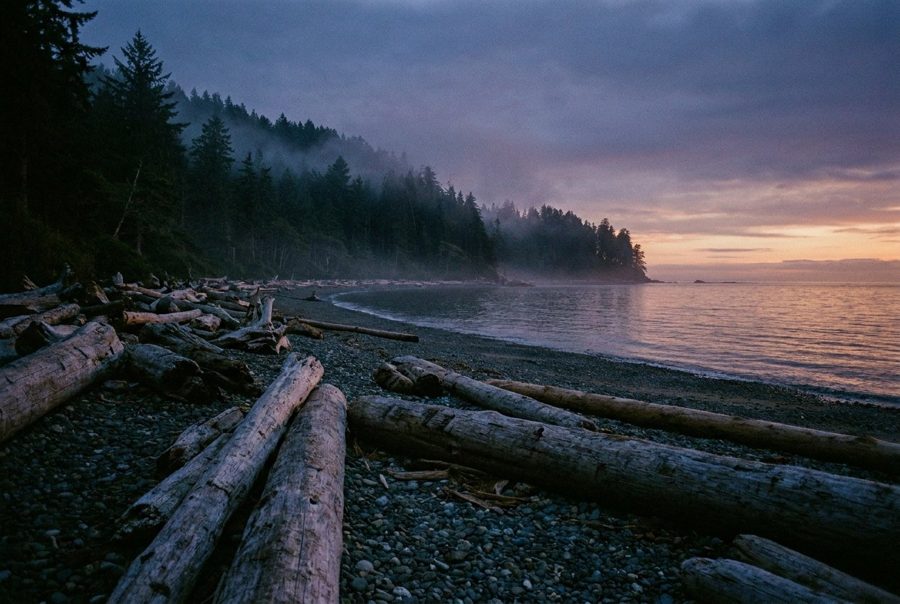
Treat the crossing as the first view of the trip. Seabirds work the water off the islands, harbour seals sometimes surface near the terminals, and on rare days whales pass through the sound. A pair of binoculars earns its space in the bag. In the cooler months, the light on the islands in late afternoon can be extraordinary, the water flat and silver, the forest almost black.
On the way home, the return crossing is often the moment the coast sinks in. The lineup at Langdale on a Sunday may be long, but the sound on the far side of it is the same wide, cool, mountain-ringed water it was on the way in. Give yourself time, check the sailings before you leave your last stop, and let the ferry set the pace for one more hour.
Further up the coast
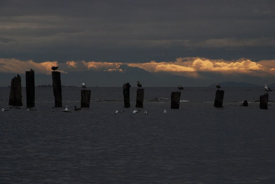 Roberts Creek, the pier and the painted mandala
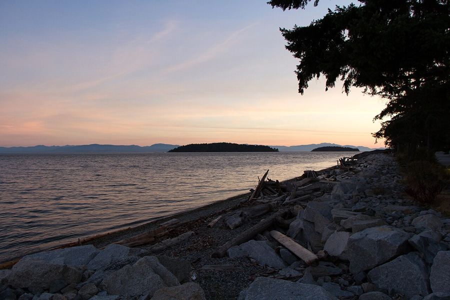 Sechelt, a town between two waters
 The shíshálh Nation and its lands

Camera work: TwoWild / CC-BY-SA-2.0; Ken McMillan from Sechelt, BC, Canada / CC-BY-2.0

