Sechelt, a town between two waters
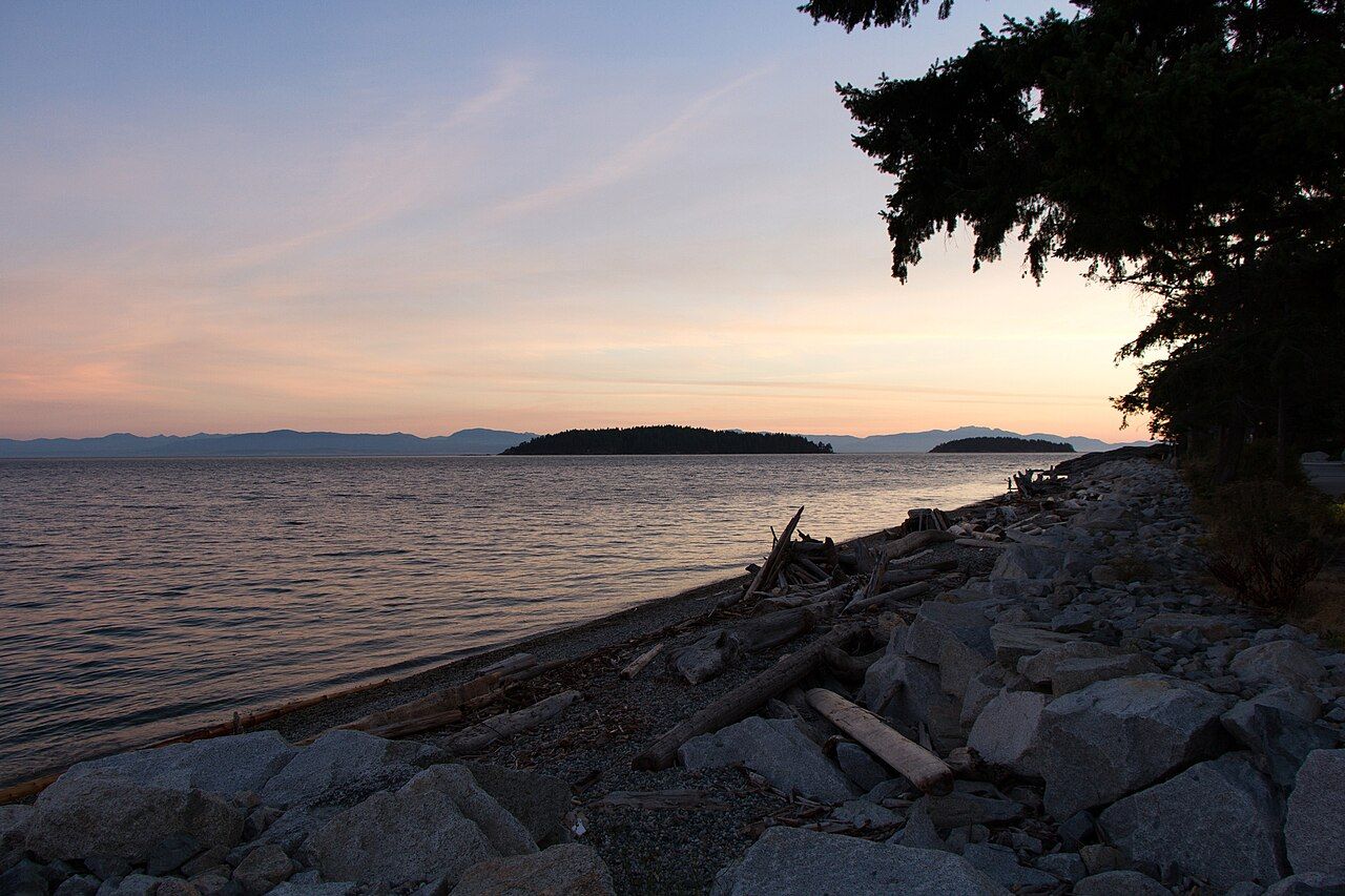
On one side of Sechelt, the open Strait of Georgia rolls onto pebble beaches. A few minutes' walk away, the calm head of Sechelt Inlet reaches north into the mountains.
 © Ken McMillan from Sechelt, BC, Canada / CC-BY-2.0
Sechelt is the largest community on the lower Sunshine Coast, and its geography explains much of its character. The town sits on a narrow neck of land, an isthmus, between two very different bodies of water. To the south lies Trail Bay, open to the Strait of Georgia, with pebble beaches, driftwood and views out to the Trail Islands and the distant hills of Vancouver Island. To the north, only a short walk away, lies Porpoise Bay, the sheltered head of Sechelt Inlet, which runs deep into the mountains.
That position has made the isthmus a crossroads for a very long time. Long before the town existed, the shíshálh people lived here and used the narrow strip of land as a route between the strait and the inlets. Today the shíshálh Nation's lands lie right next to the town centre, and you cannot understand Sechelt without understanding that its history began well before any settler arrived.
The isthmus and the town
Downtown Sechelt is compact and walkable, laid out on a gentle slope between the two shores. A few blocks of shops, galleries, cafes and offices line the main streets, with the highway running along the edge. From the centre you can walk south to the waterfront on Trail Bay in a couple of minutes, and north towards Porpoise Bay in not much more.
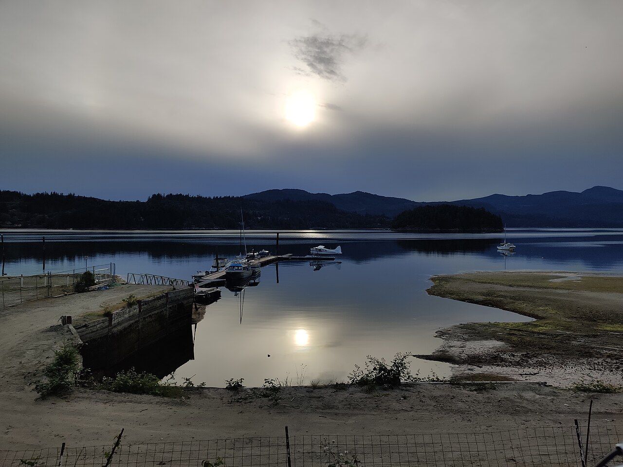
The contrast between the two shores is striking. Trail Bay feels open, bright and sometimes windswept, with the sound of waves on stones. Porpoise Bay feels calm and enclosed, its surface often glassy, ringed by forested hills. Floatplanes take off and land on the inlet side, and the water there is the starting point for paddling trips up Sechelt Inlet.
Walking between the two takes only a few minutes, yet the weather can feel different on each side. A brisk wind off the strait may be raising whitecaps in Trail Bay while Porpoise Bay lies almost still. The reverse happens too: on summer afternoons a breeze often funnels up the inlet while the strait stays calm. If you are deciding where to sit, swim or launch a boat, a quick look at both shores is worth the walk.
 © Travis Warford / CC-BY-SA-3.0
The waterfront and the seawalk
A paved seawalk runs along Trail Bay, following the shoreline past driftwood beaches and benches. It is the town's evening promenade, busy with walkers, dogs and people sitting on logs watching the sun go down over the water. The Trail Islands, a small group of rocky, forested islets, sit offshore, and on clear days the hills of Vancouver Island rise on the horizon.
 © Ken McMillan from Sechelt, BC, Canada / CC-BY-2.0
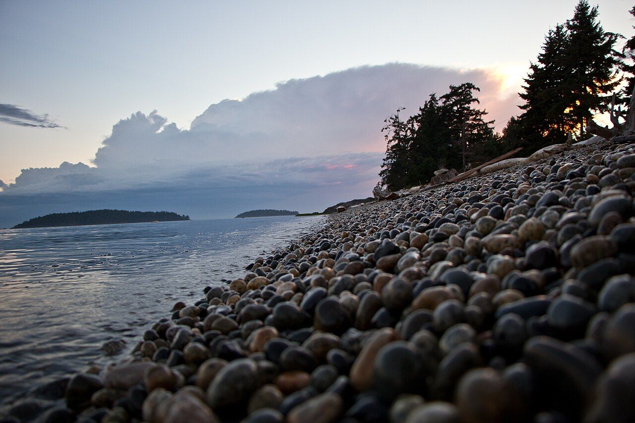
The beach is mostly smooth, rounded pebbles that clatter as the waves draw back. It is a good place to sit rather than swim; the water is cold and the stones are hard on bare feet. At low tide, sandier patches appear further out, and gulls and crows work the tideline for food. In winter, southeasterly storms can drive waves right up against the seawall, a dramatic sight from a safe distance.
Trail Bay feels open, bright and sometimes windswept, with the sound of waves on stones.
Davis Bay and the shore to the south
A few minutes south of town along the highway, Davis Bay has one of the most popular beaches on the coast. The road runs right along the shore, with a seawall, a small pier and a long stretch of sand and pebbles that widens dramatically at low tide. In summer, families spread out on the beach, children explore the tide pools, and the pier draws people fishing and watching the water.
Davis Bay faces southwest across the strait, which makes it a favourite spot for sunsets. The shallow water warms a little more than most beaches in late summer, though it is still cool by most standards. Parking along the road fills quickly on fine weekends. Pullouts along the highway near Davis Bay offer views over the strait if you just want a quick look.
Across the waterThe shíshálh Nation and its landsThe shíshálh Nation and its museum
The shíshálh Nation, also known in English as the Sechelt Nation, has lived along this coast and its inlets for thousands of years. In 1986 the Nation became the first in Canada to achieve self-government through its own federal legislation, a landmark arrangement that gave it direct control over its lands and governance. The Nation's government buildings and lands lie next to the town centre, and the two communities share the isthmus.
The tems swiya Museum, in the Nation's cultural and administrative complex near the highway, presents shíshálh history, art and culture, including carvings, baskets and archaeological material from the region. It is an excellent place to begin understanding the coast through the eyes of the people who have lived here longest. The days it opens vary, so confirm before making the trip. For a fuller picture of the Nation's history and how to visit respectfully, read the guide to the shíshálh Nation and its lands.
As you travel, you will see place names in she shashishalhem, the shíshálh language, on signs alongside English. They are a reminder that the inlets, beaches and rivers you visit carry much older names and stories.
Porpoise Bay and the marsh
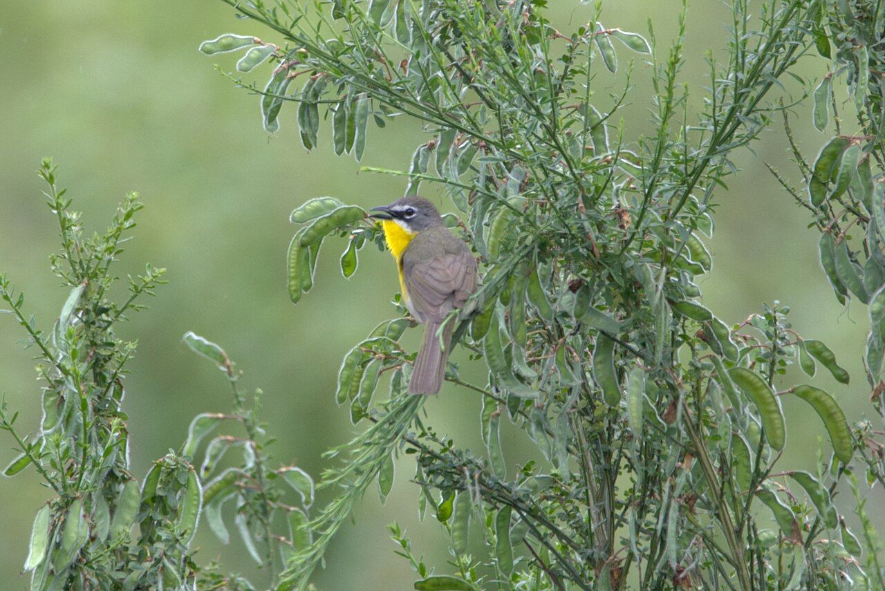
On the north side of town, Sechelt Marsh is a small wetland at the head of Porpoise Bay, with a short walking path around it. Herons, ducks, red-winged blackbirds and swallows use the marsh, and in spring and autumn migrating birds pass through. Bring binoculars, walk quietly, and stay on the path to avoid disturbing nesting birds. The surrounding scrub draws songbirds too, and birdwatchers occasionally turn up surprising species here.
 © erichabisch / CC-BY-4.0
From the marsh, a road runs north along the east shore of the inlet to Porpoise Bay Provincial Park, with its sandy beach and campground. This is also the jumping-off point for exploring the inlets by kayak or boat. If you plan to paddle, read up on paddling Sechelt Inlet before you go; the inlet is sheltered but long, and winds and tides matter.
Sechelt is the main service centre for the lower coast, with supermarkets, pharmacies, a hospital and fuel. If you are heading north towards Pender Harbour and Earls Cove, it is a sensible place to stock up. Local buses link Sechelt with Gibsons and the Langdale ferry, though services are limited outside peak times; check the schedule before relying on them.
Summer is busy and bright, with long evenings and plenty of community events. Spring and autumn bring quieter streets and good birdwatching. Winter is mild but wet, and storm-watching from the Trail Bay seawalk has its own appeal on a wild day. Whatever the season, give yourself time to walk both shores and feel the difference between the open strait and the calm inlet only a few minutes apart.
Further up the coast
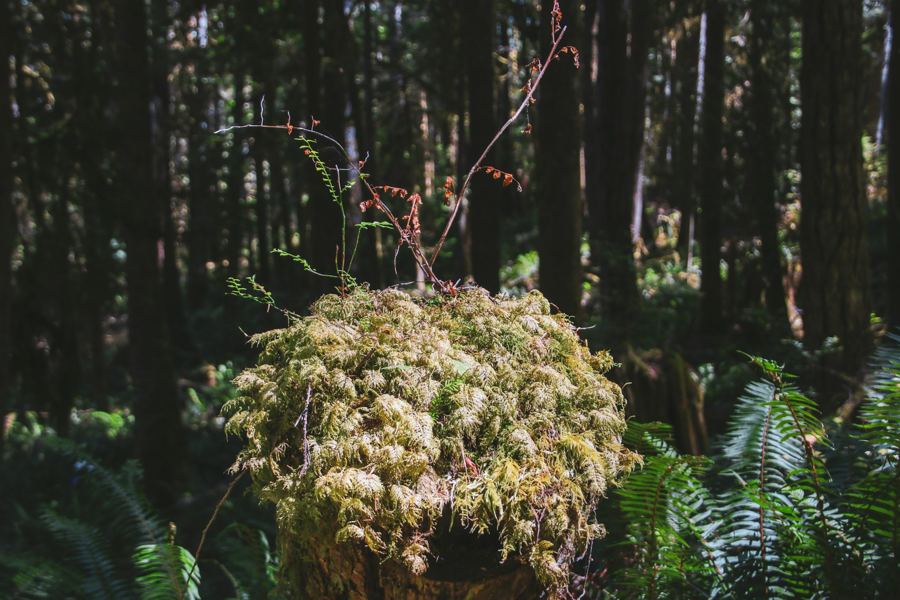 Mount Elphinstone and the forest trails
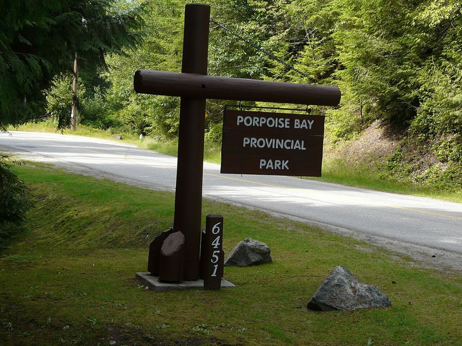 Porpoise Bay and the head of Sechelt Inlet
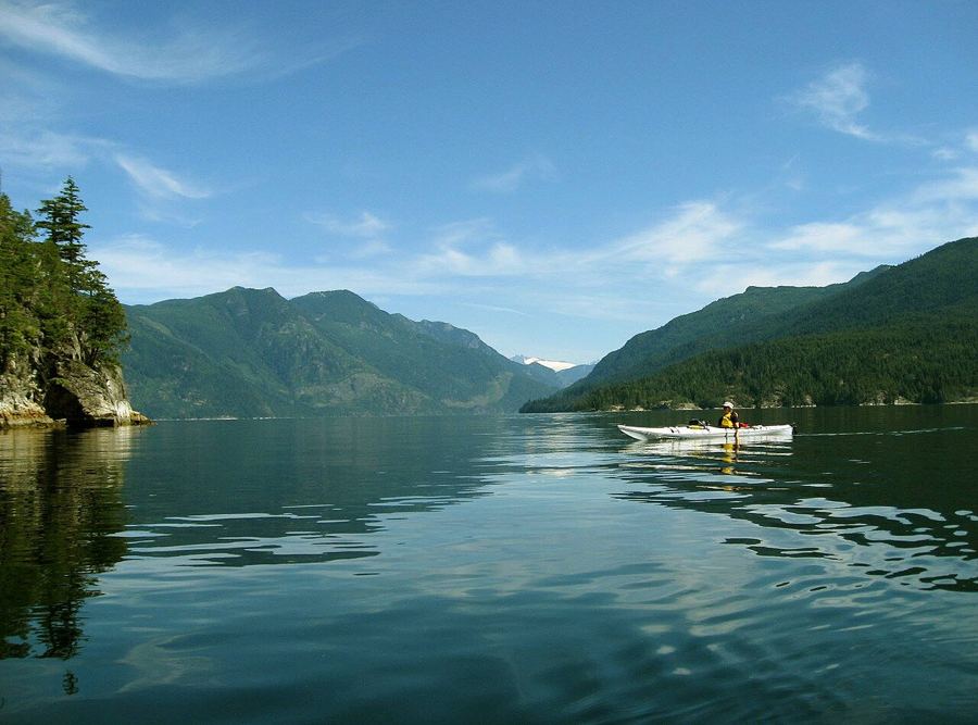 Paddling Sechelt Inlet


Camera work: Li-Ling Chang / Unsplash; Redonebird / CC-BY-SA-3.0; Ken McMillan from Sechelt, BC, Canada / CC-BY-2.0

