Paddling Sechelt Inlet
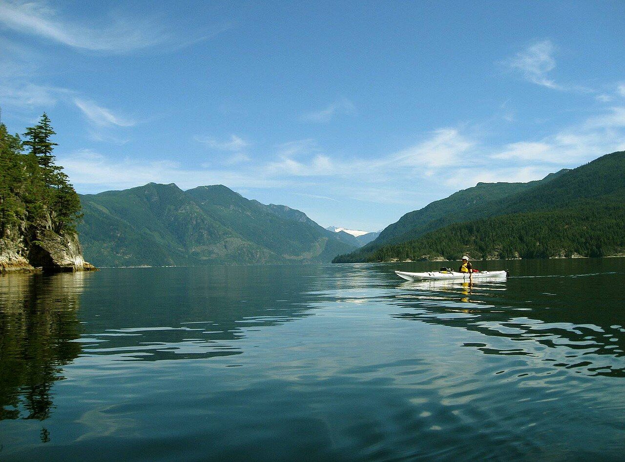
Sheltered from the open strait and lined with forest, Sechelt Inlet is one of the coast's favourite paddling waters. Read the wind, respect the cold and keep far from the rapids.
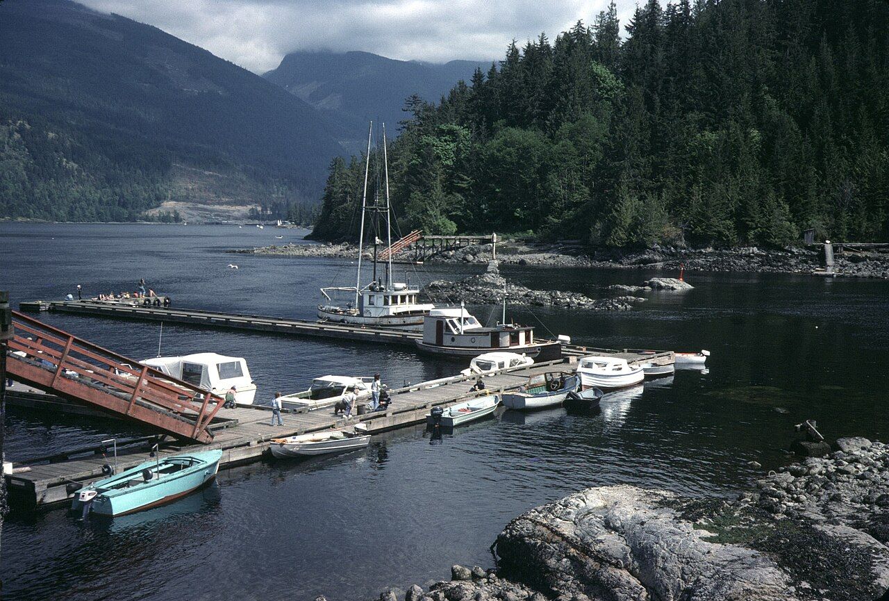
 © Ken McMillan from Sechelt, BC, Canada / CC-BY-2.0
Sechelt Inlet is the kind of water that draws paddlers back year after year. It runs north from Porpoise Bay, just behind the town of Sechelt, for more than thirty kilometres into the Coast Mountains, its shores lined with forest and granite and its surface protected from the swell of the open strait. Two long side arms, Salmon Inlet and Narrows Inlet, reach east into steeper country. Along the way, a string of marine park sites offers places to land, camp and rest.
The inlet is often described as sheltered, and compared with the open coast it is. But it is still cold, deep, remote in places and subject to strong winds, and at its northern end lies one of the most dangerous tidal passages on the coast. Paddled with care, though, it rewards almost every level of experience, from first-time day trips to week-long expeditions.
The shape of the inlet
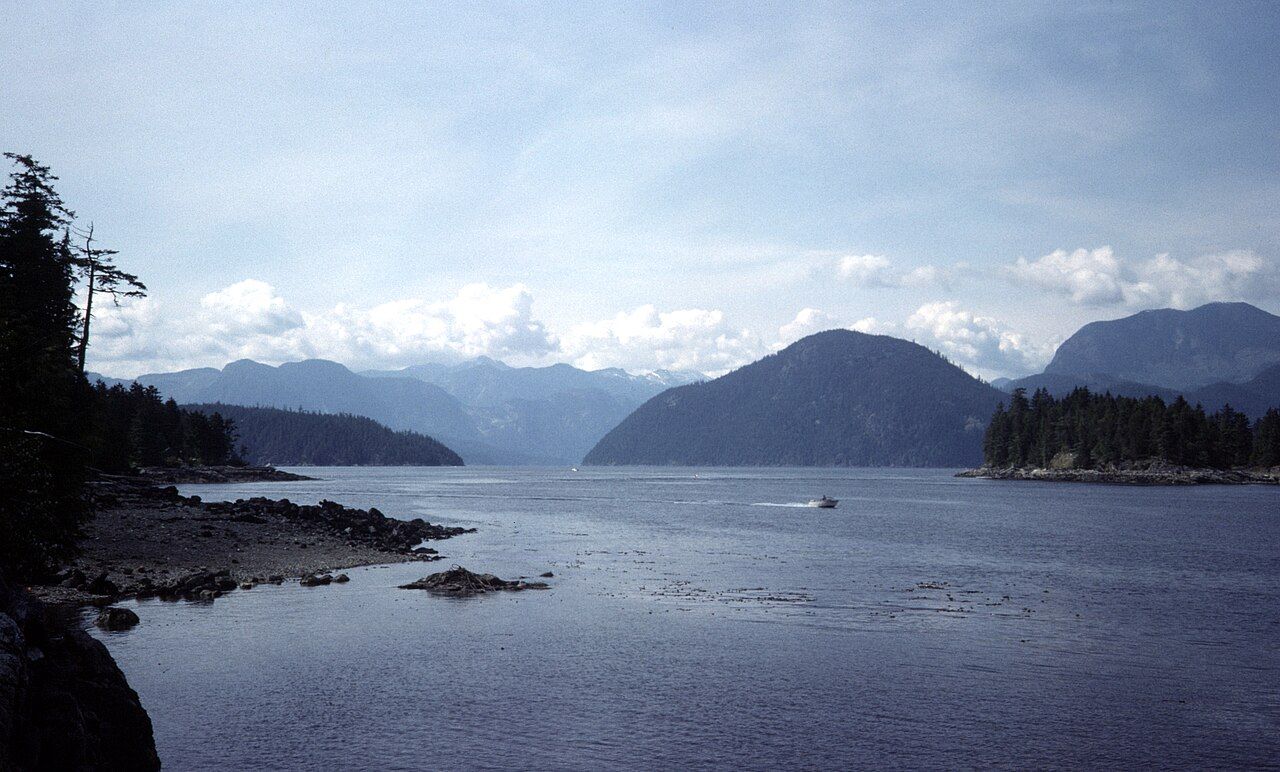
Picture a long, narrow channel running roughly north from Porpoise Bay, with the side arms branching off to the east partway up. The water is deep and mostly enclosed by steep, forested slopes. The only connection to the open sea lies at the far northern end, where the inlet squeezes through Sechelt Rapids at Skookumchuck Narrows into Jervis Inlet.
 © miranda.kopetzky / CC-BY-SA-4.0
Because the ocean tide has to push through that narrow gap, the tidal range inside the inlet is smaller and the timing is delayed compared with the strait. For paddlers in the main body of the inlet, that means gentle tidal currents most of the time. It also means that the passage at the north end carries enormous volumes of water at speed, creating whirlpools and standing waves that no paddler should approach unless highly experienced and timing slack water precisely. For most people, the answer is simple: stay well away and watch the rapids from shore instead, as described in the guide to Skookumchuck Narrows.
The marine park sites
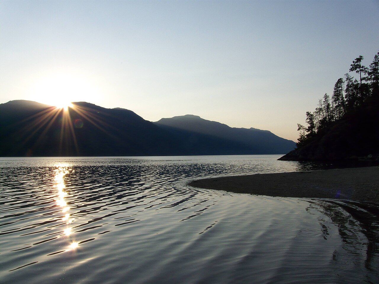
Sechelt Inlets Marine Provincial Park is not one park but a series of small sites spread along the inlets, most of them reachable only by water. They offer landing beaches and, at many sites, simple tent pads and pit toilets. Fresh water is generally not provided, so plan to carry or treat your own. The sites include:
- Piper Point and Tuwanek Point, in the lower part of the inlet and within reach of a day trip.
- Skaiakos Point, Nine Mile Point and Halfway Beach, further up the main inlet.
- Kunechin Point, at the mouth of Salmon Inlet, and Thornhill Creek, inside it.
- Tzoonie Narrows, inside Narrows Inlet.
Facilities, fees and camping rules can change, and some sites are small. In peak summer, popular sites can be busy, so have a backup plan. Pack out all garbage, use toilets where provided, and camp only in designated areas.
 © Ken McMillan from Sechelt, BC, Canada / CC-BY-2.0
Near Kunechin Point, a decommissioned naval ship was sunk as an artificial reef, and the area is popular with divers. Watch for dive flags and give them plenty of room.
Across the waterSalmon Inlet and the back countryWinds and weather
Wind, more than tide, shapes most paddling days on Sechelt Inlet. In settled summer weather, mornings are often calm. As the land heats up, an inflow breeze typically builds in the afternoon, blowing up the inlet from the south. It can raise short, steep chop, especially where the inlet is open to a long fetch. Paddling north in the morning and returning when the breeze is behind you can work well; fighting back south against it in the late afternoon is hard.
Wind, more than tide, shapes most paddling days on Sechelt Inlet.
In cooler seasons, outflow winds can pour down the inlets from the mountains, sometimes strongly and with little warning. Storms bring rain, low cloud and gusty conditions. Carry a way to call for help, such as a VHF radio or a satellite communicator, since phone coverage is patchy up the inlet.
- Plan crossings for calm periods and keep them short.
- Stay close to shore where you can land if conditions change.
- Be ready to wait out wind on a beach. A spare day in the plan is useful.
Skill levels and safety
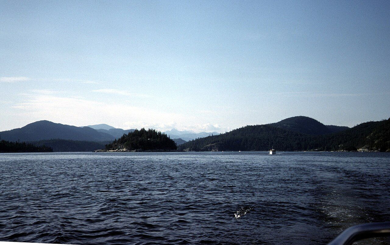
For beginners, a guided or accompanied day trip from Porpoise Bay to the lower inlet sites is a fine introduction. Stay close to shore, go out in the morning calm, and turn back early. For paddlers with self-rescue skills and some open-water experience, the main inlet and its side arms make good multi-day routes. Kunechin Point and Tzoonie Narrows are common goals.
 © miranda.kopetzky / CC-BY-SA-4.0
The water is cold year round, and immersion can quickly become serious. Dress for the water, not the air: a wetsuit or drysuit is sensible, especially outside midsummer. Always wear a lifejacket, carry spare warm layers in a dry bag, and know how to get back into your boat. Leave your plan and expected return with someone on shore.
Inside Narrows Inlet, the current at Tzoonie Narrows can run strongly around peak flow. Time your passage with slack or near-slack water, and expect eddies. In Salmon Inlet, steep shores limit landing spots, so plan your stops.
Wildlife and respect for the land
Harbour seals often watch paddlers from a distance, and eagles, herons, kingfishers and oystercatchers are common along the shore. Black bears forage on beaches, especially at low tide and in autumn. Keep your distance from all wildlife, store food securely at camp, and never approach a bear.
 © miranda.kopetzky / CC-BY-SA-4.0
The inlets lie within the homelands of the shíshálh Nation, and some shoreline sites are culturally significant. Leave shell middens and stone features undisturbed, respect posted signs, and treat every landing as a place with a long history. Read about the shíshálh Nation before you go to understand more about the waters you are paddling.
Most paddlers launch from Porpoise Bay, close to Sechelt, where parking and launching options exist. Summer offers the warmest days and most reliable weather, though afternoon winds are a regular feature. Late spring and early autumn are quieter, with cooler water and more variable weather. Winter trips are possible for experienced paddlers but demand care and good gear.
Carry current tide and current tables, a marine chart or good map, a forecast, and a plan for bad weather. Then take it slowly, enjoy the quiet, and let the inlet set the pace.
Further up the coast
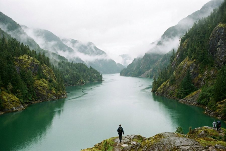 Narrows Inlet and the Tzoonie River
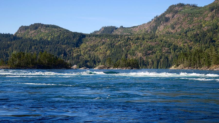 Skookumchuck Narrows, where the inlet pours through a gap
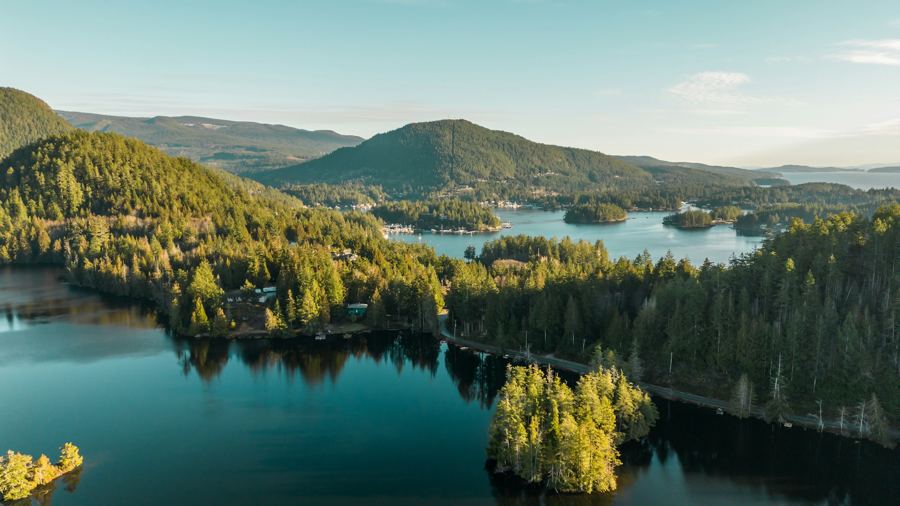 Pender Harbour, a harbour made of many harbours


Camera work: Natulive Canada / CC-BY-SA-4.0; Suzanne Rushton / Unsplash
