Driving Highway 101, one road and two ferries
One highway runs the length of the Sunshine Coast, broken by a ferry at each end of the lower coast. Knowing its rhythm makes the drive easier and more rewarding.
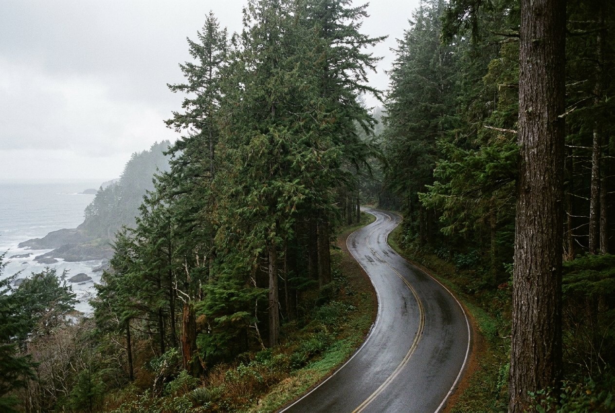
There is only one main road on the Sunshine Coast, and it is Highway 101. It begins at the ferry terminal in Langdale, runs through Gibsons, Sechelt and Pender Harbour to Earls Cove, crosses Jervis Inlet by ferry, then continues from Saltery Bay through Powell River to Lund. Although the coast is part of the mainland, no road links it to Vancouver; you arrive by ferry, and the highway shapes almost every trip you take here.
The ferries at each end
Most visitors arrive on the ferry from Horseshoe Bay in West Vancouver to Langdale, a crossing of under an hour across Howe Sound. A second ferry, from Earls Cove to Saltery Bay, connects the lower and upper parts of the coast across Jervis Inlet. From Powell River, ferries also run to Vancouver Island and Texada Island.
The ferries set the rhythm of travel. Sailings fill on summer weekends, holidays and Friday and Sunday afternoons, and missing one can mean a long wait. The story on crossing to the Sunshine Coast covers the first crossing in more detail.
Distances and driving times
Distances on the coast are not great, but the road is winding, mostly two lanes and often busy with local traffic. As rough guides:
| Stretch | Rough time by car |
|---|---|
| Langdale to Gibsons | A few minutes |
| Langdale to Sechelt | About half an hour |
| Langdale to Pender Harbour | About an hour and a quarter |
| Langdale to Earls Cove | About an hour and a half |
| Saltery Bay to Powell River | About half an hour |
| Powell River to Lund | About half an hour |
These times assume no stops and normal traffic. Add time for ferries, road work and weather, and remember that the drive from Langdale all the way to Lund, with the second ferry, takes much of a day.
Fuel, services and timing
Gibsons, Sechelt and Madeira Park have the main fuel stations, groceries and services on the lower coast, and Powell River serves the upper coast. Between them, services are sparse. Fill up before heading north past Pender Harbour, and do not count on finding fuel near the Earls Cove terminal or late in the evening. Its hours follow the season.
Across the waterAcross Jervis Inlet to Saltery Bay and Powell RiverMobile coverage is good in the towns but patchy in places along the highway, especially north of Pender Harbour. Download maps before you leave and carry a printed ferry timetable if you are making connections.
Electric vehicle chargers are found in the larger towns, but they are fewer north of Sechelt and on the upper coast. Plan your charging stops before you set out.
Driving with care
Highway 101 is a working road. Expect logging trucks, delivery vehicles and slow-moving recreational vehicles, as well as cyclists and pedestrians on the shoulder. Passing lanes are few, so be patient and pull over safely to let faster traffic by if you are driving slowly.
- Deer and bears cross the road, especially at dawn and dusk. Slow down in forested sections.
- Rain and darkness make the road hard to see in winter. Use your lights and leave more space.
- Snow and ice are uncommon at sea level but can affect higher sections in winter. Winter tires are required on some routes in British Columbia for part of the year.
- Ferry traffic comes in waves after each sailing. If you can, let it pass before setting off.
Cycling the highway
Many cyclists ride Highway 101, some on day trips and others as part of longer tours. The road has long hills, narrow shoulders in places and busy traffic in summer, so it suits confident riders with good lights and bright clothing. Ride single file, and plan to avoid ferry traffic waves where you can.
Quieter side roads offer better riding on parts of the lower coast. Lower Road through Roberts Creek and Redrooffs Road between Sargeant Bay and Halfmoon Bay both run closer to the water and carry less traffic. The ferries carry bicycles.
Side roads worth taking
The highway is the spine of the coast, but much of the best of it lies on side roads.
- Gower Point Road from Gibsons runs along the shore with views across the strait.
- Lower Road through Roberts Creek leads to the pier and beaches.
- Redrooffs Road loops along the shore of Halfmoon Bay toward Smuggler Cove.
- Egmont Road leads to the trailhead for Skookumchuck Narrows.
When you stop for a view or a photo, pull completely off the road at a proper turnout. Stopping on the shoulder on a bend is one of the more common causes of trouble on this highway, and other drivers do not expect it.
Many side roads are narrow and winding, with no shoulder. Drive slowly and watch for people walking.
Public transit
Local buses connect Langdale with Gibsons and Sechelt, and Powell River has its own local service. Service on the lower coast is limited, especially in the evening and on weekends, and there is no regular bus across the Earls Cove ferry. Sailings and routes shift from year to year. Without a car, the lower coast is manageable; the upper coast is much harder.
For the seasonal picture of the coast, see the coast through the year.
Further up the coast
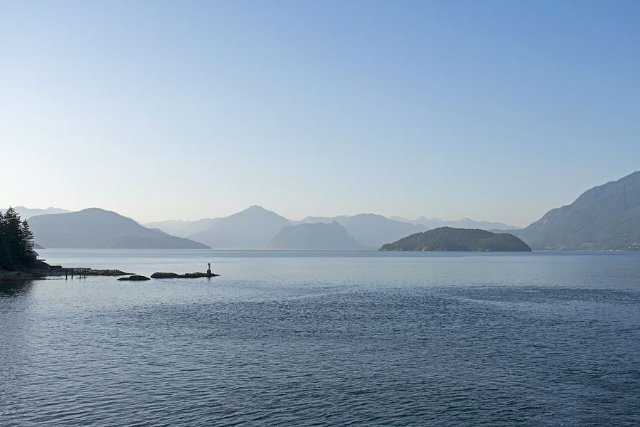 Crossing Howe Sound to the Sunshine Coast
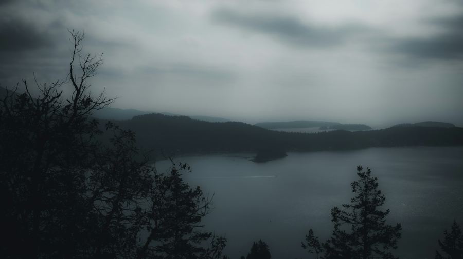 Gibsons Landing, the harbour at the start of the coast
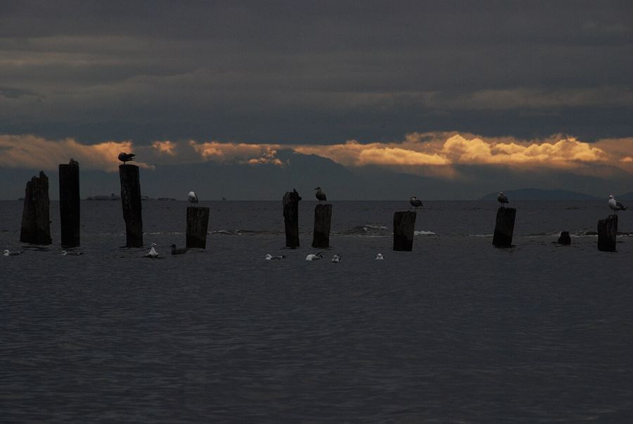 Roberts Creek, the pier and the painted mandala
Camera work: Ymblanter / CC-BY-SA-4.0; Anastase Maragos / Unsplash; TwoWild / CC-BY-SA-2.0

