Salmon Inlet and the back country
The longest arm of the Sechelt inlets runs deep into the mountains between near-vertical walls. Waterfalls pour off the rock after rain, and landings are few and far between.
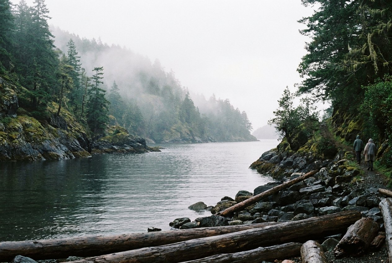
Of the long arms that branch east from Sechelt Inlet, Salmon Inlet reaches furthest into the mountains. From its mouth at Kunechin Point, it runs east for many kilometres between steep, forested walls, the water deep and dark, the mountains rising sharply on either side. Waterfalls pour off the rock after rain, and the inlet's head lies far from any public road.
It is less visited than the main inlet, partly because it is harder to reach and partly because it offers fewer places to land. For paddlers and boaters who make the trip, though, it delivers a strong sense of being in the back country of the coast, with mountain walls, quiet water and very few people.
A long arm into the mountains
Salmon Inlet branches off the main Sechelt Inlet at Kunechin Point, roughly midway up the inlet on the eastern shore. The point is one of the sites of Sechelt Inlets Marine Provincial Park and a common stop for kayakers. From there, the inlet bends east and runs deep into the Coast Mountains.
Like Narrows Inlet to the north, Salmon Inlet is a fjord, carved by glaciers. Its walls are steep, its water deep, and its shoreline mostly rocky. In places, cliffs drop almost straight into the sea. The scale can be hard to grasp from a kayak: a slope that looks a short climb can be hundreds of metres high.
The inlet lies within the homelands of the shíshálh Nation. Its waters and the valleys at its head were used for fishing, travel and harvesting for thousands of years, and some shoreline sites hold cultural significance. Leave any shell middens and stone features undisturbed, and respect posted signs and closures.
Walls, waterfalls and the weather
Salmon Inlet is at its most dramatic after heavy rain, when waterfalls appear all along its walls, some as thin ribbons, others as roaring cascades. In late spring, snowmelt from the peaks keeps many of them running. In a dry late summer, most fade to trickles or vanish altogether.
The steep walls also shape the weather. Winds tend to funnel along the inlet, following its length. On settled summer days, a breeze often builds in the afternoon, blowing inland. In cooler seasons, outflow winds can pour down from the mountains towards the main inlet, sometimes strongly and with little warning. Low cloud can settle onto the walls, hiding the tops and making the inlet feel even narrower.
Across the waterNarrows Inlet and the Tzoonie RiverFew landings, deep water
The biggest practical challenge in Salmon Inlet is the lack of easy landings. Much of the shoreline is steep rock with no beach at all. Where creeks enter the inlet, small gravel deltas sometimes provide a place to land, but these can be limited at high tide and exposed to wind.
For paddlers, that means planning each day's route around known stopping places, keeping energy in reserve, and being ready to turn back if the wind rises before you reach your next landing. For boaters, anchorages are limited by the depth and steepness of the shore, and some boats rely on stern-tying where it is permitted and safe.
- Study charts or maps before you go and mark possible landings.
- Paddle early, when winds are usually lighter.
- Carry extra food, water and warm layers in case you have to wait out wind.
- Leave a trip plan with someone at home, with your expected return time.
Hydro, logging and the head of the inlet
Salmon Inlet is not untouched wilderness. Hydroelectric development near its head, at the Clowhom River, and logging along its slopes have shaped parts of the landscape. Power lines, roads and logging operations may be visible in places, and some areas are private or industrial. Respect gates, signs and closures, and do not land at active work sites.
The water near the head, fed by rivers and creeks, can be noticeably colder and cloudier than in the main inlet. Floating logs and debris are common after storms, so keep a sharp lookout if you are travelling by boat.
Rivers at the head also bring fresh water into the inlet, and after heavy rain or in the snowmelt season a layer of colder, lighter water can spread across the surface. It does not usually change much for a paddler, but it is one more reason to dress for a sudden swim rather than for the air temperature on a bright day.
Wildlife
Harbour seals, bald eagles, herons and kingfishers are common along the inlet. Black bears forage on beaches and creek deltas, particularly at low tide and in autumn when salmon run in the rivers. Keep a respectful distance from all wildlife, store food securely, and never approach a bear. For more on keeping a safe distance, read the guide to orcas, seals and bears of the coast.
Salmon Inlet is best suited to experienced paddlers and boaters. Kayakers usually approach it as part of a multi-day trip on the inlets, launching from Porpoise Bay near Sechelt and camping at marine park sites along the way. The guide to paddling Sechelt Inlet covers launches, sites and the main inlet's winds.
Carry a VHF radio or satellite communicator, since phone coverage is limited. Summer offers the most settled weather; late spring the best waterfalls; autumn the salmon and fewer people, with more changeable weather. Winter trips are for experienced, well-equipped parties only.
Above all, travel slowly. The inlet's scale and quiet reward patience, and its steep walls punish hurry. Take your time, watch the weather, and leave each landing as you found it.
Further up the coast
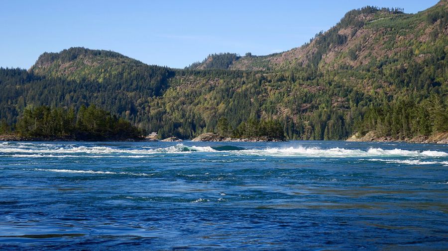 Skookumchuck Narrows, where the inlet pours through a gap
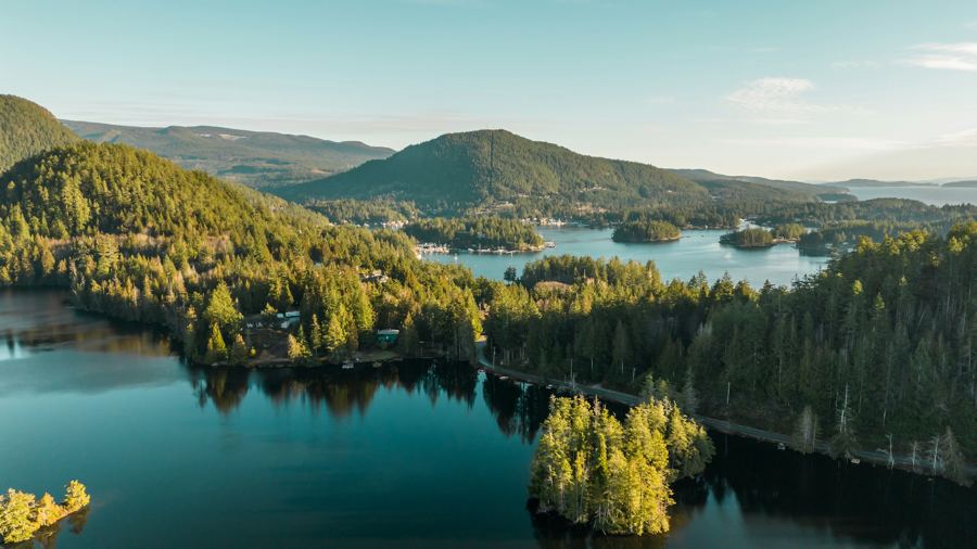 Pender Harbour, a harbour made of many harbours
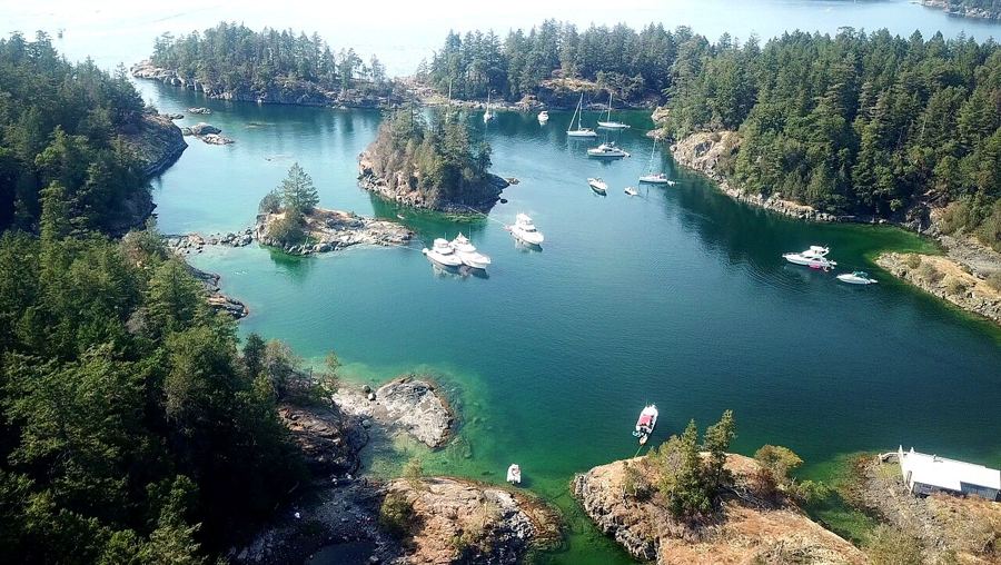 Smuggler Cove and the shores of Halfmoon Bay
Camera work: Natulive Canada / CC-BY-SA-4.0; Suzanne Rushton / Unsplash; BWJinks / CC-BY-SA-4.0

