Across Jervis Inlet to Saltery Bay and Powell River
A short ferry hop across Jervis Inlet joins the lower Sunshine Coast to the upper one, with a quiet provincial park at Saltery Bay and a former mill town beyond.
 © Redonebird / CC-BY-SA-3.0
Highway 101 does not run continuously along the Sunshine Coast. At Earls Cove, north of Pender Harbour, the road meets Jervis Inlet and stops. A car ferry carries traffic across the mouth of the inlet to Saltery Bay, where the highway picks up again and runs on to Powell River and Lund. For many visitors this second crossing is where the coast starts to feel more remote: fewer towns, longer stretches of forest and views north toward the Coast Mountains.
Getting to Earls Cove
From Langdale it is roughly an hour and a half by road to Earls Cove, passing through Gibsons, Sechelt, Halfmoon Bay and Pender Harbour. The ferry terminal is at the end of the highway, with a waiting area and little else. Fill your tank in Sechelt or Madeira Park before you go: services are sparse near the terminal.
The crossing itself is short, usually under an hour, but sailings are less frequent than on the Langdale route and can fill on summer weekends and holidays. Many travellers plan the drive so they meet the Earls Cove sailing without a long wait; others build in a stop at Skookumchuck Narrows, whose trailhead is close by, and catch a later ferry.
The crossing
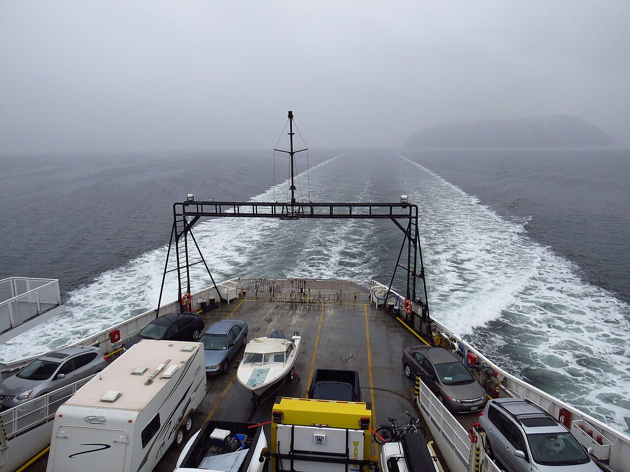
The ferry runs across the lower part of Jervis Inlet, with forested shores on both sides and, on clear days, peaks rising to the north. It is a working route for locals as much as a scenic one, but the outside decks are worth a few minutes. Watch for seals and porpoises, and in some seasons for whales passing through.
 © Mike from Vancouver, Canada / CC-BY-SA-2.0
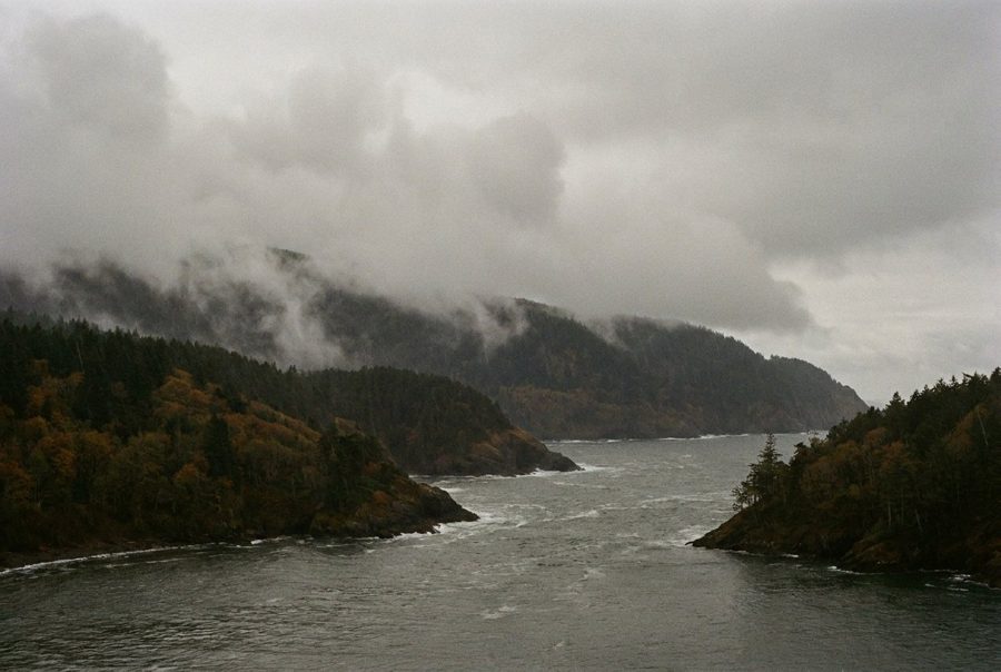
On rainy days, low cloud often hangs in the inlet and the far shore appears and disappears through the mist. Dress for wind on deck even in summer.
If you arrive early, the waiting area at Earls Cove has little shelter, so keep a jacket and some food in the car. In bad weather, sailings on any route can be delayed or cancelled, and service notices are posted online and at the terminals.
Saltery Bay Provincial Park
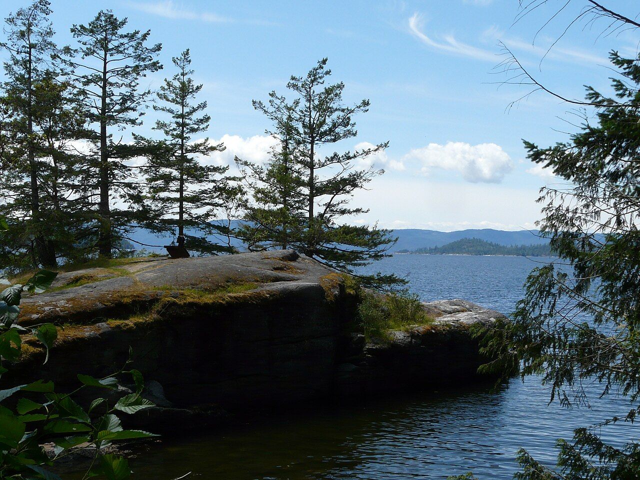
A few minutes north of the ferry terminal, Saltery Bay Provincial Park protects a stretch of rocky shore and forest along Jervis Inlet. It has a campground, picnic areas and short trails to the water. The shoreline is mostly smooth rock and small coves, with views across the inlet.
The park is well known among divers for Mermaid Cove, where a bronze mermaid statue sits underwater a short swim from shore. Diving here requires training and proper cold-water equipment. The water stays cold all year, visibility varies, and boat traffic is present. If you are not a diver, the cove is still a pleasant place to sit on the rocks.
Across the waterDesolation Sound, past the end of the roadBlack bears live in the area; keep food locked away in your vehicle and follow posted rules.
The road to Powell River
From Saltery Bay the highway runs roughly thirty kilometres to Powell River, winding through forest and past small communities such as Lang Bay and Stillwater. Lang Bay has a sandy beach that is popular on warm days. Watch for cyclists, logging trucks and deer, especially early and late in the day.
Powell River itself grew around a pulp and paper mill that opened in the early twentieth century. The original company townsite, with its planned streets, early houses and civic buildings, has been recognized as a national historic district, and walking its streets gives you a clear sense of how a company town was laid out. Today the city is the main service centre for the upper coast, with stores, fuel and a hospital. Its waterfront, beaches and nearby lakes, including Inland Lake with its level trail around the shore, make easy outings when you want a rest from driving.
The land here is the territory of the Tla'amin Nation, whose main community lies just north of the city. The Tla'amin signed a modern treaty with Canada and British Columbia that took effect in 2016. As with any First Nation lands, respect signs and private property, and do not assume that land without buildings is open for camping or exploring.
The Sunshine Coast Trail
Powell River is the hub of the Sunshine Coast Trail, a long-distance hiking route that runs roughly 180 kilometres from Sarah Point near Desolation Sound to Saltery Bay. It passes through forest, along lakes and over viewpoints, and a series of huts and shelters along the way are free to use on a first-come basis. Hiking the whole trail takes most people a week or more; many walk shorter sections as day hikes.
- Carry a map and know where water is available; some sections are dry in late summer.
- Huts can be full in summer, so carry a tent.
- Black bears and cougars live in this country. Store food properly and keep dogs leashed.
- Logging roads cross the trail; watch for trucks and active operations.
Trail conditions, closures and fire restrictions change through the season.
Beyond Powell River
North of Powell River, Highway 101 continues to Lund, where it ends at the edge of the water and the boat route into Desolation Sound begins. Ferries also connect Powell River with Vancouver Island and Texada Island, which makes a loop route possible. Plan these crossings carefully, since they all run on separate timetables. For the full picture of the drive, see driving Highway 101, and for the stretch you passed on the way north, Pender Harbour.
Further up the coast
 Orcas, seals and bears: sharing the coast with wildlife
 Tides, winds and boat sense on the inlets
 The coast through the year

Camera work: Lucas Mitchell / Unsplash