Tides, winds and boat sense on the inlets
The inlets look calm and sheltered, but tides, winds and cold water shape every trip. A little planning before you launch makes the difference between a good day and a dangerous one.
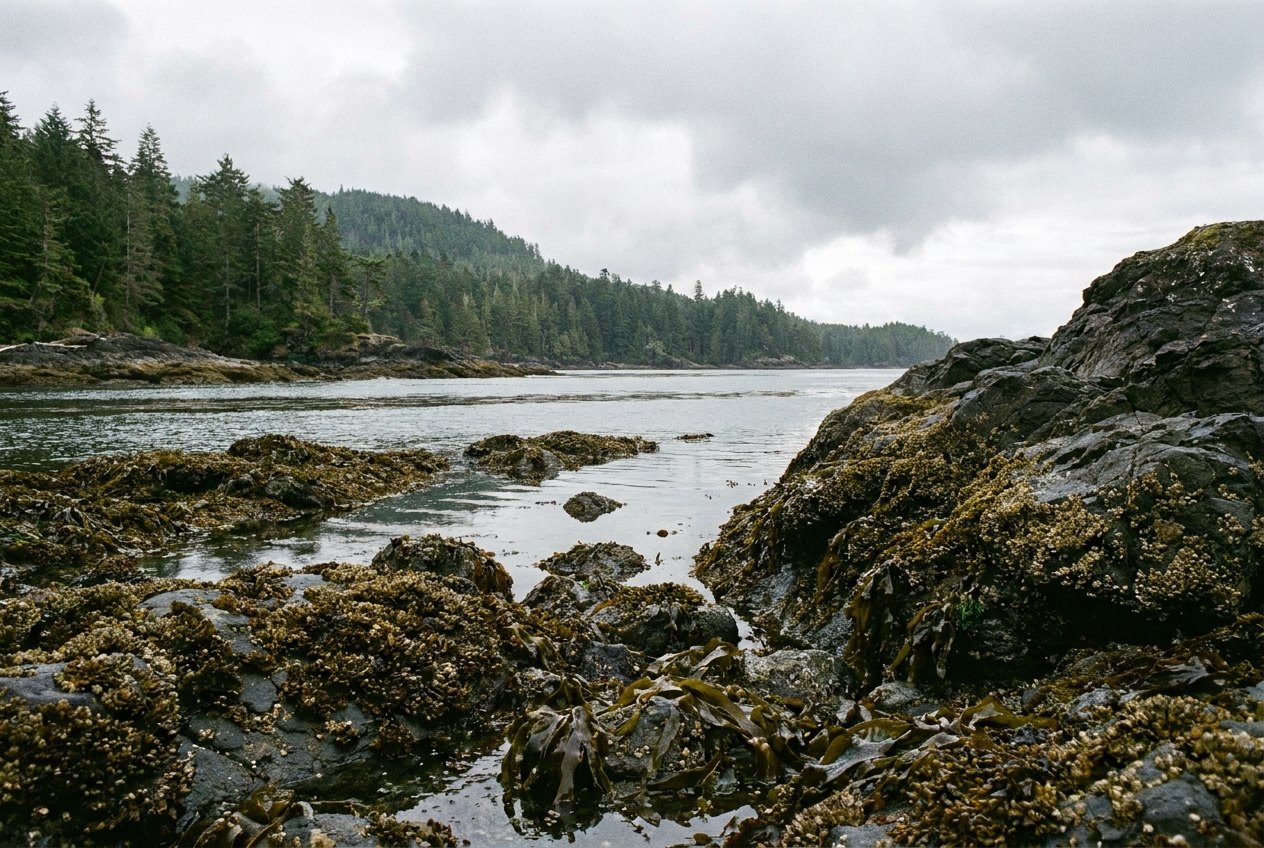
The Sunshine Coast is built around water. Its inlets are narrow fjords, its harbours sheltered and full of islands, and its shores face the open Strait of Georgia. On a still summer morning it can look as calm as a lake. But tides, winds and cold water shape every trip, whether you are in a kayak, a small runabout or a cruising boat. A few habits make the difference between a good day and a dangerous one.
Tides and currents
Tides on this coast usually rise and fall twice a day, with two high waters and two low waters of different heights. The range between high and low water varies through the month and can be several metres on the largest tides. That matters for where you can land, how far you have to carry a boat, and whether rocks and shoals are covered or showing.
Tide tables tell you the height of the water. Current tables tell you how fast it moves and in which direction. In most of the open water the currents are moderate, but wherever a large body of water must pass through a small gap, they become strong. The obvious example is Skookumchuck Narrows, where currents can run faster than most boats can travel. Smaller narrows, such as Tzoonie Narrows in Narrows Inlet and Malibu Rapids at the entrance to Princess Louisa Inlet, also need timing.
- Use the official Canadian tide and current predictions for the nearest station.
- Check whether the times you are reading include daylight saving.
- Plan to pass narrows at or near slack water, and give yourself a margin.
- Remember that wind against current makes steep, short waves.
Winds and weather
The wind on the inlets follows patterns that are worth learning.
Summer inflow winds
On sunny days, as the land heats, air is drawn up the inlets from the sea. Mornings are often calm, but by early afternoon a steady up-inlet breeze may build, sometimes strong enough to make paddling hard and to raise whitecaps. Many paddlers travel early and rest on shore in the afternoon.
Winter outflow winds
In winter, when cold air builds up inland, it can pour down the inlets toward the sea as strong outflow winds. These can arrive suddenly, blow hard for days and make the water dangerous, especially combined with cold air temperatures and spray that freezes on boats.
The Strait of Georgia
Out on the open strait, summer often brings afternoon northwesterly winds, while autumn and winter storms usually arrive from the southeast. Swell and wind waves can build quickly over the long open stretches, and crossings to the islands offshore can become rough with little warning.
Listen to the marine forecast before you launch and during your trip. It is broadcast on the continuous weather channels of a marine VHF radio.
Across the waterPaddling Sechelt InletCold water
The sea here stays cold all year. Even in midsummer, a short distance below the warm surface layer, the water is cold enough to cause cold shock. A sudden fall into cold water makes you gasp uncontrollably for the first minute or so; if your head is underwater, you can inhale water and drown before you have a chance to swim. Within minutes, your muscles start to weaken and lose coordination. Hypothermia follows later.
- Wear a lifejacket or personal flotation device at all times on the water, not just stowed in the boat.
- Dress for the water temperature, not the air. Paddlers should consider a wetsuit or drysuit outside the warmest months.
- Practise rescues in calm, shallow water with friends before you need them.
- Stay close to shore when you can, so that a capsize ends with a short swim.
Radio, phones and float plans
Mobile phone coverage is patchy on the coast and disappears completely in much of the inlets. A marine VHF radio is the standard way to call for help on the water. Channel 16 is the distress and calling channel monitored by the Coast Guard and other vessels. Operating a VHF radio legally requires a certificate.
Before any trip, leave a float plan with someone ashore: where you are going, who is with you, what your boat looks like and when you expect to return. If you are late, they know when and where to raise the alarm. Operating a powered recreational boat in Canada also requires proof of competency; rules change.
Other hazards
- Logs and deadheads. Floating logs, some barely visible, drift in the inlets, especially after storms and big tides. Keep your speed down and a good lookout.
- Ferries and tugs. Large vessels cannot stop or turn quickly. Stay well clear of ferry routes and terminals, and never pass close ahead of a tug with a tow.
- Wakes. Wakes from passing boats can swamp a kayak or knock people off a dock. Slow down near shore, docks and paddlers.
- Wildlife. Keep a safe distance from whales and seals; see orcas, seals and bears for the rules.
Start small. Sheltered water close to a launch, such as the south end of Sechelt Inlet near Porpoise Bay, is a good place to learn how the wind and tide behave. Build up to longer trips as your skills grow, and travel with others. Know where you can land along your route, and when the forecast or the water looks wrong, wait it out on shore. The inlets will still be there tomorrow.
Further up the coast
 The coast through the year
 Driving Highway 101, one road and two ferries
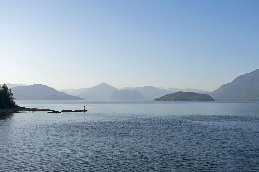 Crossing Howe Sound to the Sunshine Coast
Camera work: Ymblanter / CC-BY-SA-4.0
